


")
Whether you’re planning an active summer with the family, want to explore new areas, or just looking for fitness or fun, the Haliburton Highlands has a cycling route for everyone.
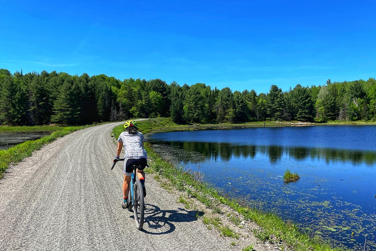
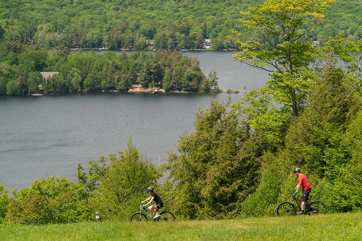
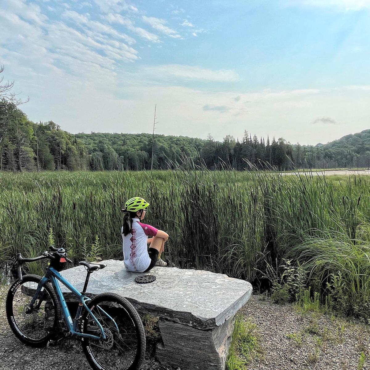
Abundant with lakes and nestled along rugged northern Ontario landscapes, the Haliburton Highlands is a popular destination for cyclists of all ages and abilities. It’s not surprising given how much the region has to offer, including scenic vistas with stops along the way where riders can enjoy some refreshments or just take a breather and soak in the natural beauty.
“You will find yourself riding right along the edge of a really stunning Canadian Shield lake,” says Thom Lambert, content creator for the Haliburton Highlands Economic Development and Tourism Department. “You can stop along a river or at one of several villages that offer really cool local opportunities where you can refuel and explore — whether it’s a food truck out in Irondale or a riverside brewpub in Minden. It’s just very different than riding in other places.”
It’s easy to get started cycling in the Haliburton Highlands as nearly 40 curated cycling routes are available via Ride with GPS, a website and mobile app that helps people discover and plan cycling routes.
“This app is a complete game changer for cycling destinations,” says Lambert, noting it’s currently one of the most-used apps for cyclists. “It helps us let people know the really wide variety of cycling that’s available here.”
On the app, users can explore all their route options, and then download a free trail map directly to their smartphones or to an alternative GPS device. Typically, cyclists will mount a mobile device to their handlebars and can follow along with the map as it tracks their ride.
Describing Ride with GPS as similar to a social media platform, Lambert explains that users can save (or “pin”) their favourite routes, comment on them, upload photos, and send them to friends.
“You can record your ride and then share it, so you have bragging rights with all your cycling buddies,” he says.
Unlike other similar platforms, Ride with GPS works specifically with the route developers, ensuring that each map is depicted accurately.
“The Ride with GPS app does a phenomenal job supporting organizations like ours that want to promote cycling in the area,” says Lambert. He explains that the app developers are all experienced and passionate cyclists themselves.
As another benefit to cycling in the Haliburton Highlands, users are able to download the routes completely free of cost since the Haliburton Highlands Economic Development and Tourism Department has a tourism account with the app.
When scrolling through the app, users will find a wide range of options for cycling in the Haliburton Highlands including gravel and on-road routes, as well as routes through the Haliburton Forest.
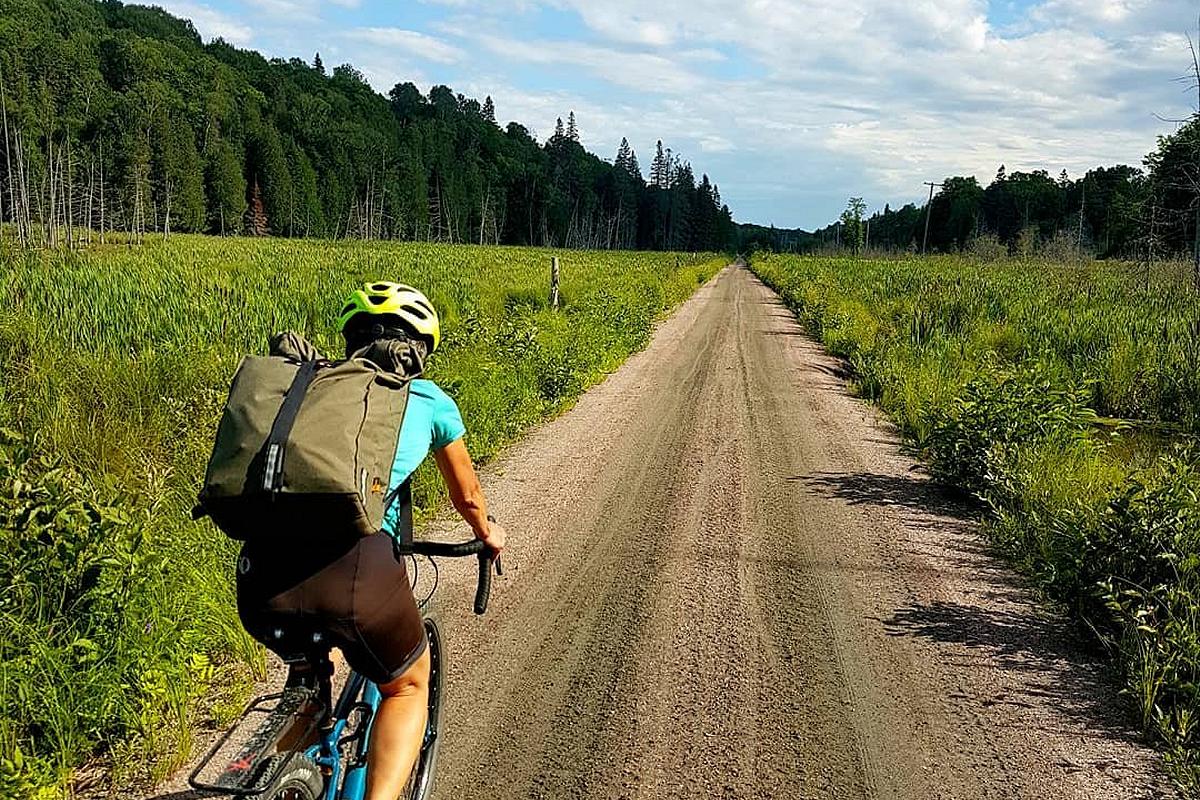
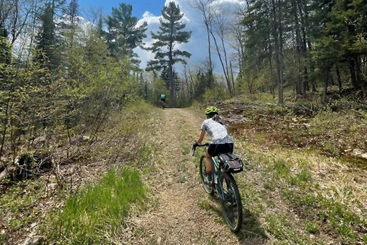
According to Lambert, gravel riding is the “fastest growing aspect of cycling right now.” There are over 20 gravel routes in the region, all of which are scenic, remote, and adventurous, catering to differing skill levels.
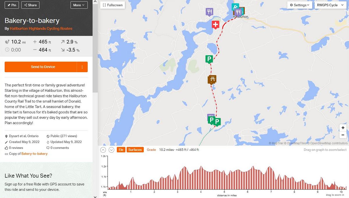
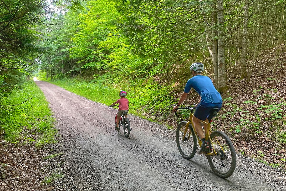
The Bakery-to-Bakery route is one of the most accessible and popular routes. At 16.5 kilometres in length, this family-friendly route is mostly flat, taking cyclists from Haliburton to the hamlet of Donald where a seasonal bakery, The Little Tart, makes a perfect pit stop for snacks to keep riders energized for the rest of the journey.
“The Bakery-to-Bakery route is great if you’ve got young riders or first-time gravel riders,” Lambert explains. “It’s not hilly and it has a great destination when you’re trying to convince your child to keep going.”
On the other end of the spectrum, there’s the 285-kilometre route aptly named The Big Loop. With 3,500 metres of elevation gain among rugged and remote adventure riding, this route is not for the faint-hearted.
Although it’s meant for advanced riders, Lambert explains that beginners and moderately skilled bikers will often challenge themselves by only completing some sections of the route in a day, or by completing the entire route as part of a multi-day adventure.
Most of the gravel routes in the Haliburton Highlands lie somewhere on the spectrum between the Bakery-to-Bakery route and the Big Loop, with each around 60 to 70 kilometres long.
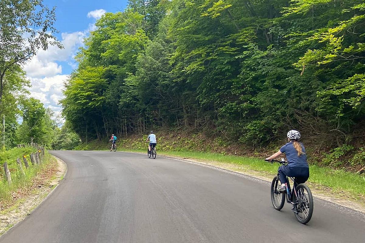
As for on-road routes, the maps used on Ride with GPS were converted from paper maps created by a group called Cycle Haliburton. These maps, which include almost every road in the region, can be downloaded in PDF version at cyclehaliburton.ca/cycling-map with paper copies available at tourist information centres, public libraries, and various other locations across Haliburton County.
For the beginning or casual road cyclist, Lambert recommends the 33-kilometre North Shore Road route. An out-and-back route along quiet cottage roads with restaurants to mark the half-way point, it’s enjoyable for riders of any skill level.
For some challenging on-road cycling, there’s a 120-kilometre route that takes cyclists through Minden, Haliburton, and Carnarvon — three of the largest communities in the Haliburton Highlands.
According to Lambert, exploring the Haliburton Highlands by bicycle is not only good for your health, but good for the environment too.
“We’re very conscious about the sustainability of tourist activities,” Lambert says. “Cycling is one of the most sustainable ways to see a large portion of any destination.”
As well as helping cyclists follow the routes, the Ride with GPS app will also alert them to significant locations along the way including restaurants, lookouts, historical sites, and even emergency services.
“You can literally show up never having been to the Haliburton Highlands, download one of the cycling routes, and go for a ride knowing those routes have all been completely scouted on the ground,” Lambert explains. “You can follow the route without being familiar with any of the trails or roads and you won’t miss a thing.”
For those looking for the most flexibility when cycling in the Haliburton Highlands, Lambert recommends choosing the right type of bicycle.
“Rent or buy a bicycle that allows you to ride on as many surfaces as possible,” he says, adding that wide tires and bikes that let riders “sit upright” will go a long way toward comfort.
Lambert says e-bikes are also a good option, especially for casual or older riders, as they make it easier to keep up with other riders and deal with hilly terrain.
“E-bikes have changed the cycling world in a way that probably no cycling technology has changed the world in the last 100 years,” he points out.
The most important thing for a comfortable ride, Lambert adds, is to make sure your bike is set up properly before you head out.
“Get your bike from a local bike shop that will set it up, because pretty much all the comfort has to do with how that bicycle is adjusted and a good local shop will do that for you.”
As for Lambert, you might see him this summer cycling his favourite route, the South Haliburton Ramble. The 85-kilometre mostly gravel trail goes through three villages and along cottage roads, and includes an optional “adventurous” ATV trail section.
“It has everything the Haliburton Highlands has to offer,” he says — including a pit stop for French fries if you need to load up on carbs.
For a full list of gravel biking and on-road cycling routes and mountain biking trails in the Haliburton Highlands, and to learn more about bicycle rentals and repairs and guided tours, visit the My Haliburton Highlands website at myhaliburtonhighlands.com/biking-cycling/, where you can also find information about local accommodations, restaurants, events, and more.
This branded editorial was created in partnership with Haliburton Highlands Economic Development & Tourism. If your organization or business is interested in a branded editorial, contact us.


