April showers bring May flowers, but when combined with spring snowmelt they also increase the risk of flooding. The Ministry of Natural Resources and Forestry along with local conservation authorities have issued flood warnings, watches, and watershed condition statements for the Kawarthas region.
A flood warning means flooding is imminent or already occurring, a flood watch means there is potential for flooding, and a watershed conditions statement includes a flood outlook (early notice of conditions that may lead to flooding) or water safety information.
Here are the flood conditions as of Tuesday, April 25, 2017 across the Kawarthas region:
Flood Warning for York and Madawaska River Watersheds, Flood Watch for Gull River Watershed
Last update: April 18, 2017
The Ministry of Natural Resources and Forestry – Bancroft District is advising area residents that a Flood Warning is in effect for the York River and Madawaska River Watersheds, and a Flood Watch is in effect for the Gull River Watershed.
A Watershed Conditions Statement – Flood Outlook remains in effect for the rest of Bancroft District.
Total rainfall over Bancroft District through Friday is expected to be in the range of 15-30mm. Seasonal spring temperatures are expected.
While recent temperatures and precipitation have been causing the snow to disappear in parts of Bancroft District, a substantial snow pack with average to above-average water content remains across the northern half of the District, encompassing many headwater areas. With the forecast warmer temperatures and precipitation, continued and accelerated snowmelt is expected.
The York River and Madawaska River watersheds are already saturated and the additional rain and snowmelt will cause water levels and flows in the York and Madawaska Rivers to either rise or remain elevated. Flooding is expected in low-lying areas adjacent to the York and Madawaska Rivers.
As storage on the reservoir lakes in the Gull River watershed is nearing capacity, Parks Canada is continuing to move water through the system. Nuisance flooding is expected in this system, particularly in low-lying flood prone areas on the Gull River through the Village of Minden.
With the recent rain and snow melt, reservoirs across the remainder of the district are elevated. Smaller streams and creeks will respond quickly to the additional runoff. Larger water bodies, including the reservoir lakes, will take longer to react. Additional water accumulation in areas adjacent to watercourses, road ditches and areas with poor drainage may occur.
Residents of the Bancroft District should keep a close watch on conditions, regularly check for updated messages and exercise caution near fast-moving rivers and streams. Residents who have a historic susceptibility to flooding should take appropriate precautions to protect their property, such as ensuring sump pumps are functioning and securing items that may float away as water levels rise.
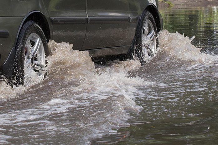
MNRF advises extreme caution when using forest access roads for outdoor activities. Many are seasonally inundated with water, prone to washouts, and may be impassable due to current water levels. The public should avoid crossing any submerged roads as there may be a risk to traveler safety. Barricades have been placed in locations where known washouts or dangerous driving conditions have been observed.
Flood Warning cancelled for Kawartha Lakes and Otonabee River
The Otonabee Region Conservation Authority (ORCA) has cancelled the Flood Warning (first issued on April 7th) for the Otonabee Region Watershed (Kawartha Lakes in the north including Buckhorn and Stoney Lake to Rice Lake in the south). A Watershed Conditions Statement – Water Safety is now in effect.
Inflows to the Kawartha Lakes from areas to the north have continued to decline over the past week. As a result, the water levels on the Kawartha Lakes and flows on the Otonabee River have subsided to the point that previously experienced flooding no longer exists.
What’s more, the disappearance of all traces of snow in the areas north of Kawartha Lakes combined with fair weather forecasts means that the spring freshet along the Kawartha Lakes and Otonabee River is now past. Therefore, the flood warning for the Kawartha Lakes and Otonabee River is now cancelled.
A Watershed Conditions Statement – Water Safety is now in effect for all of the watercourses and waterbodies in the geographical jurisdiction of ORCA. Despite the cancellation of the flood warning for the Kawartha Lakes and Otonabee River, area residents and visitors to the area should nonetheless observe caution around all waterbodies and watercourses because area lakes, rivers, streams and creeks continue to pose a serious danger due to extremely cold water temperatures. Dams, culverts and other water control and water conveyance structures are to be avoided at all times.
Flood Watch cancelled for the Lower Trent Watershed
LLower Trent Conservation advises municipalities and the public that the Flood Watch issued on April 7th for the Trent River from Hastings to Trenton is cancelled. A Watershed Conditions Statement – Water Safety is now in effect.
Water levels and flows along the Trent River from Hastings to Trenton will continue a steady drop this week as the spring runoff moves through the lower section of the river system.
The Trent-Severn Waterway will be continuing dam operations over the next several weeks in order to reduce water levels and flows to summer navigation ranges.
The long-range forecast currently indicates that a Colorado low system will move through the region this weekend bringing the potential of 30 to 45 mm of rain. This amount of precipitation could sustain the period of springtime water conditions.
Everyone is advised to exercise extreme caution around all waterways. Strong currents pose a safety hazard to anyone. Areas around water control structures should be avoided at all times. This Water Safety Statement will remain in effect for the next several weeks.
Watershed Conditions Statement – Water Safety for Ganaraska Region Watershed
Last update: April 7, 2017
The Ganaraska Region Conservation Authority has issued a Watershed Conditions Statement – Water Safety for the Ganaraska Region Watershed (the area from Wilmot Creek in Clarington to east of Cobourg from the south shore of Rice Lake down to Lake Ontario).
The Ganaraska Region Conservation Authority advises that a low pressure system is moving into Southern Ontario this evening ahead of a second storm later this week. Rain is expected to start overnight with total rainfall amounts of 20 to 30mm by noon tomorrow, when the system is expected to taper off and move out of the region. A second storm event is expected to begin on Wednesday night with possibly 30mm or more rainfall.
Most of the runoff associated with last Friday’s storm event has passed through the watersheds, however soil conditions remain wet and storage areas such as wetlands and ponds have reduced capacity to absorb more runoff.
The forecasted rainfall combined with wet watershed conditions will result in higher than normal water levels and flows in all our local streams. With the next storm arriving shortly after, a second round of runoff is expected to follow on Thursday and into Friday. No flooding is anticipated at this time.
Additionally, slippery stream banks, and fast flowing, cold water will create hazardous conditions around bodies of water, especially in the vicinity of culverts and bridges. Children should be warned to stay away from all watercourses.
This Watershed Conditions Statement will be in effect through Friday, April 7th, 2017. Conservation Authority staff will continue to monitor watershed conditions and provide updates as necessary. Should you have any questions or wish to report flooding, please contact the following GRCA staff at 905-885-8173.
Watershed Conditions Statement – Water Safety for Kawartha Watershed
Last update: April 13, 2017
Kawartha Conservation is advising local residents that the large Kawartha Lakes, specifically Cameron, Balsam, Sturgeon lakes and Pigeon Lake continue experiencing elevated water levels as a large amount of water moves through the Trent River system.
Water levels in the Kawartha Lakes have been elevated over the last several days in response to high water flows in rivers, including the Burnt and Gull rivers, which flow into the Kawartha Lakes from the north. Substantial runoff from recent precipitation as well as the melting of remnant snow cover in the headwaters of these northern tributaries, had been contributing to the higher flows.
Partner agencies report that the snow cover at the upper reaches of the Burnt and Gull rivers has now melted. As a result, flows in northern tributaries are decreasing. No significant precipitation is forecast for the next 5 days. Under these circumstances it is expected that water levels in Kawartha Lakes within Kawartha Conservation watershed will start declining in next few days.
While lake water levels are elevated, no flooding is anticipated at this time within the Kawartha Conservation jurisdiction at this time. However, shorelines and banks are saturated, and may be slippery and undercut. Kawartha Conservation is asking all residents, especially children, to use caution around the lakes and other water courses.
Trent-Severn Waterway officials are assessing the situation on an ongoing basis and are adjusting flows through water control structures accordingly. Dams in Fenelon Falls and Bobcaygeon are open to accommodate increased flows of the Burnt River and the other northern tributaries.
The story will be updated as flood conditions change.


