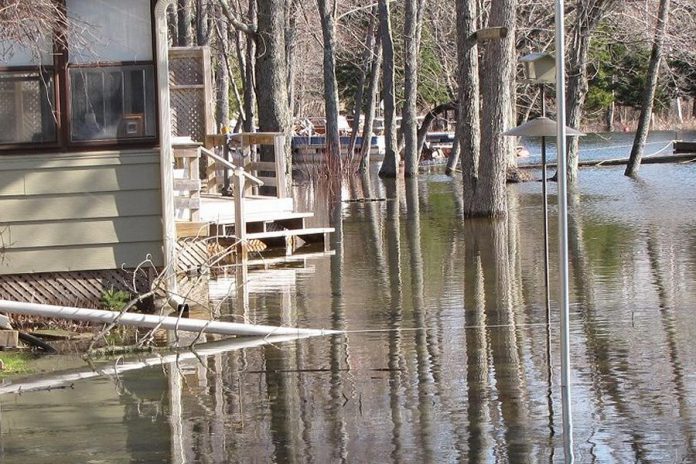
In recognition of the increased risk of flooding due to climate change, Kawartha Conservation has received $187,000 from the Government of Canada and the City of Kawartha Lakes to help map out floodplains within the Kawartha watershed.
Over the next 18 months, Kawartha Conservation will update and establish floodplain mapping for 9.5 kilometres of McLaren’s Creek and 6.5 kilometres of Fenelon Falls South.
Once complete, the mapping will help guide land use decisions in the two areas for the foreseeable future. With improved technology, data provided from the two floodplain mapping projects will allow the City of Kawartha Lakes and Kawartha Conservation to be more prepared for potential threats from flooding.
“As the frequency and intensity of severe weather events continue to grow, updating and establishing floodplain mapping is critical to the safety of people and property,” explains Kawartha Conservation CAO Mark Majchrowski. “These two projects continue to better position Kawartha Conservation and the City of Kawartha Lakes to provide added surety in protecting people and their property from flooding events, and will be used in our planning and permitting activity.”
Peterborough-Kawartha MP Maryam Monsef announced the federal funding today (May 15) on behalf of the federal Minister of Public Safety and Emergency Preparedness. The Government of Canada is providing $100,150 in funding to the Province of Ontario to support the two projects.
The funding comes from the National Disaster Mitigation Program, established in 2015 to address rising flood risks and costs and to mitigate the effects of flood events. Under the program, the federal government cost-shares up to 50 per cent of eligible expenses for provincial projects.
“Canadians are increasingly experiencing the costly effects of climate change through extreme weather events,” Monsef says. “Today’s announcement will provide Kawartha Conservation with some of the tools required to protect communities in our region from flooding.”
The City of Kawartha Lakes has also contributed $87,086 to the two projects.
“The city is very pleased to have Kawartha Conservation receive the National Disaster Mitigation Program funding from the Federal government,” says Richard Holy, the city’s manager of policy planning. “The floodplain mapping for these two areas will improve our understanding of the watercourses and better guide land use decisions in the future.”
Flooding damage has accounted for 80 per cent of federal disaster assistance payments over the past 20 years. Studies have demonstrated that every dollar invested in mitigation generates a savings of six dollars in future disaster costs.
For more information about Kawartha Conservation’s flood plain mapping work, visit kawarthaconservation.com/permits-planning/flood-plain-mapping-studies.


