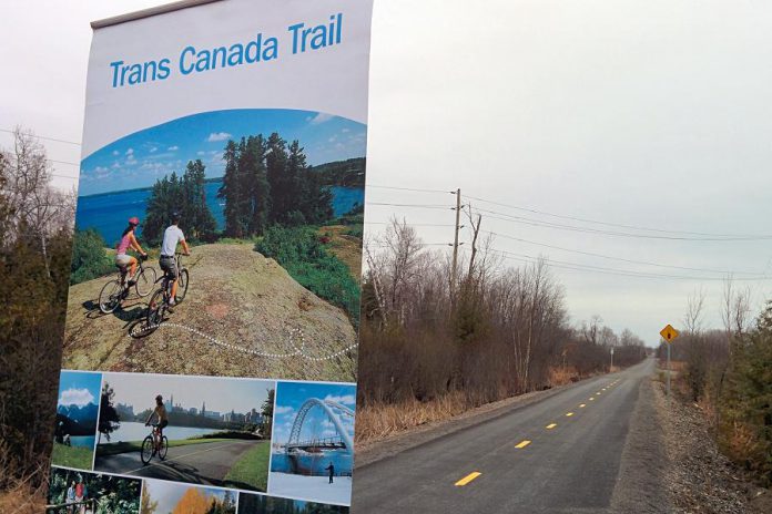
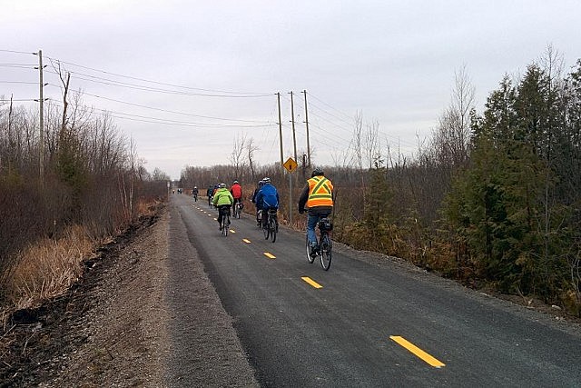
The final link of the Trans Canada Trail between Peterborough and Hastings was officially opened today. The 1.8-kilometre section of trail, which is mostly paved within city limits, runs from Lansdowne Street just south of Technology Drive to the Old Keene Road, connecting with the Lang-Hastings Trail immediately east of Peterborough.
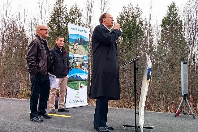
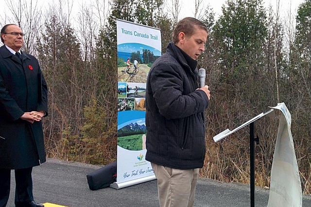
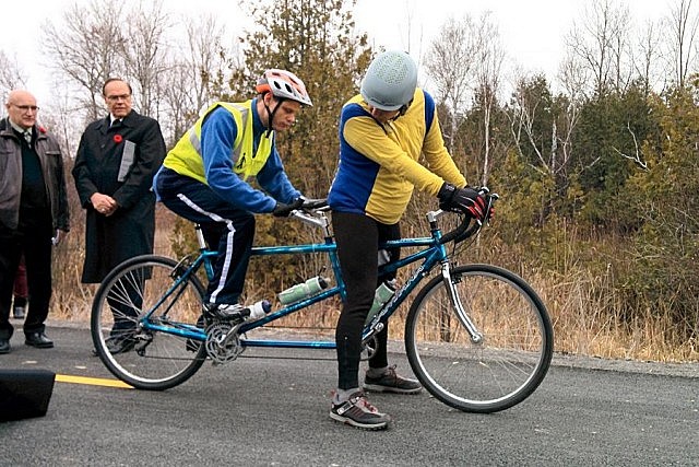
A group of officials and members of the public attended the ribbon-cutting ceremony, with remarks by Peterborough Mayor Daryl Bennett, Michael Goodyear of Trans Canada Trail, and Barry Diceman of the Peterborough-Hastings Trans-Canada Trail Association. MPP Jeaf Leal was scheduled to participate but was unable to attend.

Also in attendance were Susan Sauvé, Transportation Demand Management Planner, and Richard Straka, Planner Policy and Research, both from the City of Peterborough, as well as Ashburnham Ward Councillor Keith Riel and Peterborough’s 2015 Business Citizen of the Year Haig Kelly (who, along with Barron Cowan, donated $240,000 in 2013 towards the completion of the Lang-Hastings Trail).
“With the completion and connection of this project, we actually have continuous Trans Canada Trail from just outside of Kingston westwards towards Ajax,” says Michael Goodyear, manager of trail development for eastern Canada with Trans Canada Trail. “It’s 310 kilometres of connected trail. That’s a very significant feat when you start to consider all of the small pieces that have been developed over the many years and the efforts of all the organizations involved.”
The section of the trail that opened today is paved within city limits (just east of Technology Drive to Lansdowne Street), except for a short section between the Highway 115 overpass and Technology Drive. That section will be paved within two years, once the Ministry of Transportation completes rehabilitation of the overpass.
Permitted uses for the trail section within Peterborough city limits include walking and hiking, cycling, skateboarding, in-line skating, snowshoeing, and skiing (motorized vehicles such as scooter-style e-bikes and snowmobiles are not permitted).
Outside of Peterborough city limits, permitted activities on the Lang-Hastings Trail include walking and hiking, off-road cycling, horseback riding, snowshoeing, and skiing. With the exception of snowmobiles during winter, motorized vehicles are also not permitted on the Lang-Hastings Trail.

If you’re planning to cycle the entire Lang-Hastings Trail, be advised that the ride from Peterborough to Hastings takes over two hours one way. However, there are also points to explore that are closer, such as Lang Pioneer Village in Keene.
The other section of the Trans Canada Trail in Peterborough begins south of Lansdowne from Ecology Park on Ashburnham Road, through Beavermead Park to Rogers Cove, and then east along Maria Street to the Trans-Canada Trail Bridge across the Otonabee River, where it connects with the Otonabee River Trail (there is one small section of remaining to be built along Maria Street, which is planned for 2016).
The portion of the Trans Canada Trail within the Kawarthas, from Campbellford to Manilla, connects around 15 communities along a continuous 120-kilometre route. The entire Trans Canada Trail, when fully connected, will stretch over 24,000 kilometres from the Atlantic to the Pacific to the Arctic oceans. The objective is to complete the Trans Canada Trail by 2017 — in commemoration of Canada’s 150th anniversary of Confederation.
For an interactive map of the Trans Canada Trail, visit www.tctrail.ca/explore-the-trail/


The City of Peterborough is also planning to implement several other trail and cycling infrastructure projects this year, including:
- extension of the Rotary Greenway Trail from the Trent Rowing Club to Gzowski College at Trent University
- extension of the McDonnel Street cycling lanes from Park Street to Water Street
- construction of cycling and pedestrian facilities along Brealey Drive from Sir Sandford Fleming Parkway to Lansdowne Street
- construction of cycling and pedestrian facilities along Ashburnham Drive from Maria Street south to the railway tracks
- upgrading of the cycling lanes on George and Water Street to prohibit parking and add a buffer between the vehicle travel lane and the cycling lane, and
- extending the George and Water Street cycling lanes from McDonnel Street to Hunter Street.
All photos by Bruce Head / kawarthaNOW.


