Environment Canada has issued a snow squall watch for northern Kawartha Lakes, including Fenelon Falls, for Sunday afternoon (February 7).
Locally heavy snow squalls are forecast to develop on Sunday afternoon to the southeast of Georgian Bay, as strong west to northwest winds become established.
The snow squalls are expected to continue into Sunday night before weakening on Monday.
Very heavy snowfall amounts in the 15 to 40 cm range appear possible, with the heaviest amounts likely in areas closest to Georgian Bay, including the Midland, Orillia, and Port Carling areas.
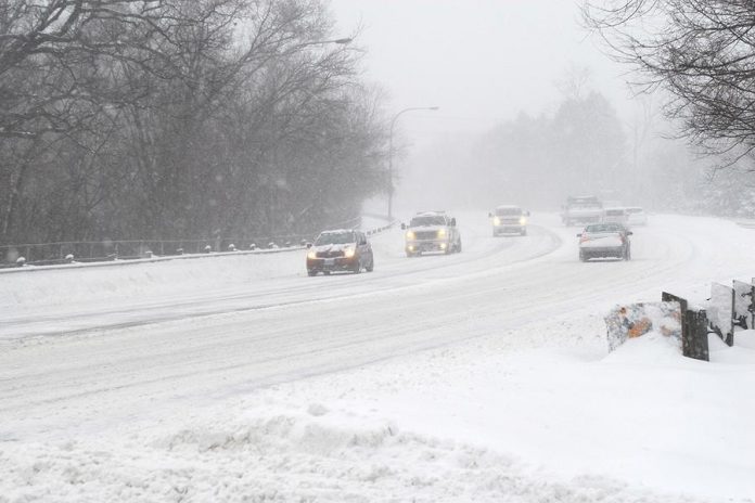
Winds will whip up the freshly fallen snow resulting in sudden near zero visibility in blowing snow. Dangerous winter driving conditions are possible this afternoon and tonight. Motorists are advised to adjust their travel plans accordingly.
The lake effect snow will move to the north of the region by Monday morning.
Visibility may be significantly and suddenly reduced to near zero. Surfaces such as highways, roads, walkways and parking lots may become difficult to navigate due to accumulating snow.
In other areas of the Kawarthas region, including Peterborough, Haliburton, southern Kawartha Lakes, Northumberland, and Hastings County, only 2 to 4 cm of snow are expected.


