The Otonabee Region Conservation Authority (ORCA) has issued a flood warning for all water courses and bodies within its geographical jurisdiction, which includes Peterborough and Peterborough County and portions of the City of Kawartha Lakes and Northumberland County.
A flood warning is issued when flooding is imminent or occurring.
Ouse River, Indian River, and tributaries of the Kawartha Lakes and Otonabee River
Throughout ORCA’s geographical jurisdiction, the ground is both saturated and frozen, and therefore incapable of absorbing additional rainfall.
As a result of forecast rainfall of 50 to 70 mm forecast over the next seven days (Friday April 12th to Friday April 19th), and in particular the 25 to 40 mm forecast for Sunday, April 14th, significant pooling and ponding in low-lying areas is expected.
In addition, local rivers (Indian River and Ouse River), streams, and creeks (Squirrel, Baxter, Cavan, Jackson, Meade, Rays, etc.), which are already flowing at above normal rates, will continue to experience high flows, and will possibly even exceed their banks in some areas.
Wetlands are also expected to swell beyond their normal confines thereby flooding adjacent roads. Hence, area businesses and residents located in historically flood-prone areas are advised to prepare for localized flooding caused by forecasted rainfall, saturated and frozen ground, and poor drainage conditions.
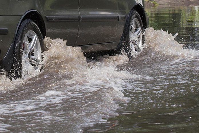
Also, area residents and visitors are advised to not travel roads, paths, or other routes that are inundated with water.
Kawartha Lakes, Otonabee River, Rice Lake
As a result of snowmelt in the Haliburton Lakes and Reservoir Lakes region, inflows to the Kawartha Lakes from areas to the north have been increasing for the past several days. Accordingly, the Kawartha Lakes have been experiencing a gentle increase, and outflows from the Kawartha Lakes through the Otonabee River have also increased.
Flows on the Otonabee River at Lakefield on Friday (April 12) are in the order of 235 cubic meters per second, where average spring flows are 300 cubic meters per second. As a result, flooding of low-lying areas along the shores of the Otonabee River has begun.
These low-lying flood-prone areas can expect water levels to hold more or less steady for the time being, but water levels and flows will increase in the near future, especially as a result of increased rate of snowmelt coupled with a seven-day total rainfall forecast of 50 to 70 mm in the Bancroft and Haliburton areas, including forecasted rains of 25 to 40 mm on Sunday (April 14). Inflows to the Kawartha Lakes from the Gull, Burnt and Mississauga Rivers, as well as Nogies, Eels and Jack Creeks, are expected to increase in the coming days.
As a result, flows and levels on the Kawartha Lakes, Otonabee River, and Rice Lake will also increase. Residents and businesses occupying low-lying and flood-prone areas on the shores of the Kawartha Lakes, the Otonabee River, and Rice Lake are advised to prepare for imminent flooding in the coming days as water levels and flows along the Trent-Severn Waterway continue to increase.
The Otonabee Region Conservation Authority will continue to monitor current conditions and issue updates as required. The flood warning will be updated by Tuesday, April 16th.


