Crown land at Burleigh Falls is now closed to the public

Ontario Ministry of Natural Resources and Forestry declares area unsafe due to bad visitor behaviour

Scenic vistas like this one make Burleigh Falls a popular destination for visitors. (Photo: Peter K Burian / CC BY-SA (https://creativecommons.org/licenses/by-sa/4.0))
Scenic vistas like this one make Burleigh Falls a popular destination for visitors. (Photo: Peter K Burian / CC BY-SA)

The Ontario Ministry of Natural Resources and Forestry (MNRF) has closed Crown land adjacent to Burleigh Falls to the public.

MNRF notified the Peterborough County OPP and Sewlyn Township of the decision on Thursday (July 9). The closure is effective immediately.

The falls area has seen a large increase in visitors, resulting in numerous complaints involving liquor consumption, parking violations, excessive noise, littering, outdoor urinating and defecating, and mischief.

Advertisement - content continues below


kawarthaNOW published a story on Tuesday (July 7) outlining the concerns of a local business operator in the adjacent village of Burleigh Falls about bad visitor behaviour.

MNRF has declared the area unsafe and it will be closed to the public until further notice.

The Peterborough County OPP and MNRF will be enforcing this closure.

Vehicles will be towed and provincial offence notices will be issued to those found in contravention of the closure.

For more information, contact the MNRF Peterborough District Office at 705-755-2001.

A map of the Burleigh Falls area generated by Ontario's Crown Land Use Policy Atlas mapping tool. The tool identifies the grey areas as privately owned land and the beige areas as provincially regulated Crown Land, designated as "general use area" which is the most common designation for Crown lands in Ontario. The Ontario Ministry of Natural Resources and Forestry (MNRF) can control access to Crown land as required. The mapping tool does not identify who owns the white areas, including the section beside the rapids along Old Burleigh Road. (Map: MNRF)
A map of the Burleigh Falls area generated by Ontario’s Crown Land Use Policy Atlas mapping tool. The tool identifies the grey areas as privately owned land and the beige areas as provincially regulated Crown Land, designated as “general use area” which is the most common designation for Crown lands in Ontario. The Ontario Ministry of Natural Resources and Forestry (MNRF) can control access to Crown land as required. The mapping tool does not identify who owns the white areas, including the section beside the rapids along Old Burleigh Road. (Map: MNRF)


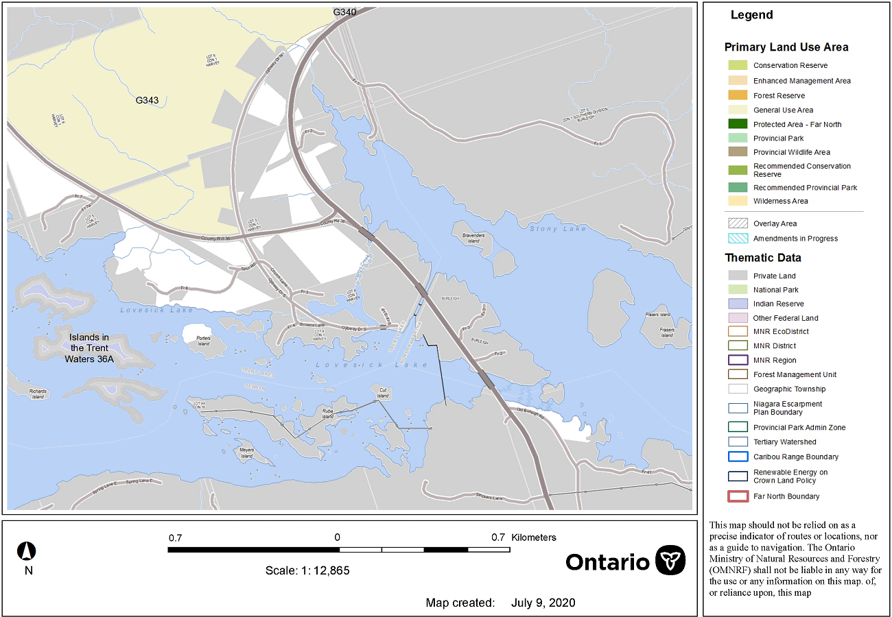
This story has been updated to include an updated map of Crown land at Burleigh Falls.