
















Kawartha Localist is an editorial series from kawarthaNOW sharing trusted local recommendations, hidden gems, and favourite discoveries from people who know and love this region. It’s what we love about where we live. Kawartha Localist is sponsored by Kawartha Financial Services.
Good news for those who love chasing the fall colours! Ontario is expected to experience a long and mild fall with warmer and drier days and fewer storms. That means an extended period to see the red, orange, and gold foliage at its peak.
Today (September 22) is the fall equinox, marked when the sun is directly over the equator and our nights become longer than our days. If you haven’t done so already, it’s time to pull out the knit sweaters and scarves, and load up on pumpkin-flavoured everything, because fall is in full swing.
It turns out that the above-average rainfall we saw this summer means the leaves will be more vibrant this year across the province. Even though they’re expected to last longer than last year, don’t wait because we all know how quickly the peak can come and go!
Did you know Ontario Parks has a fall colour tracker? The platform records the dominant colours, the percentage of colour change, and the percentage of leaf fall throughout the season across provincial parks. This can help you plan your fall viewing expeditions across the Kawarthas.
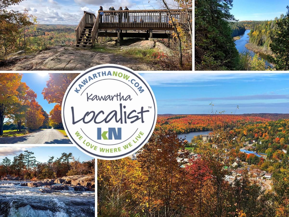
Here are some of our favourite road trips and lookout spots that are worth the drive this season. Stay tuned for next week, when we give you a list of hikes and trails to see the colours at their peak.
An accessible path for kids and those with mobility limitations at the Skyline Park Lookout in Haliburton County
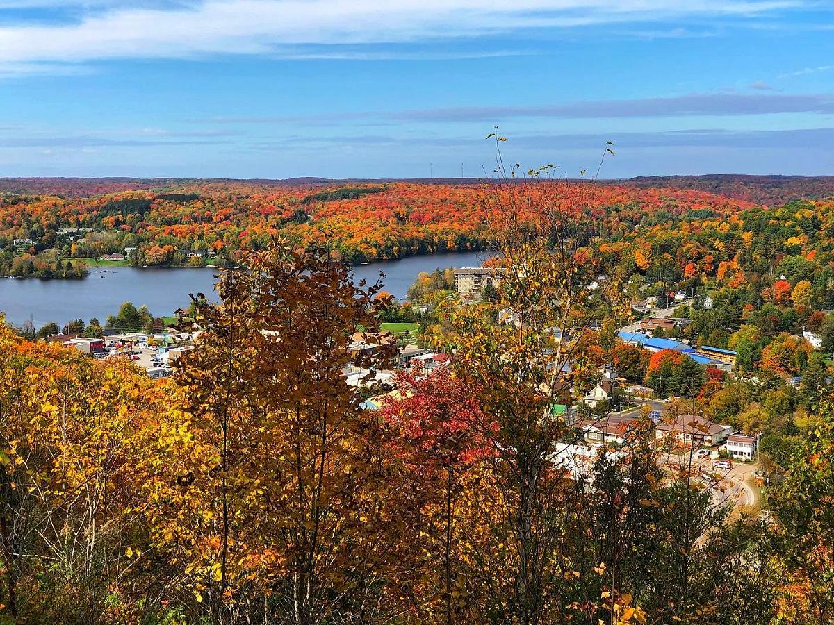
Take a one-kilometre detour off Highway 118 in Haliburton County for a spectacular, panoramic display painted by the changing colours of maple, aspen, and tamarack around the village of Haliburton.
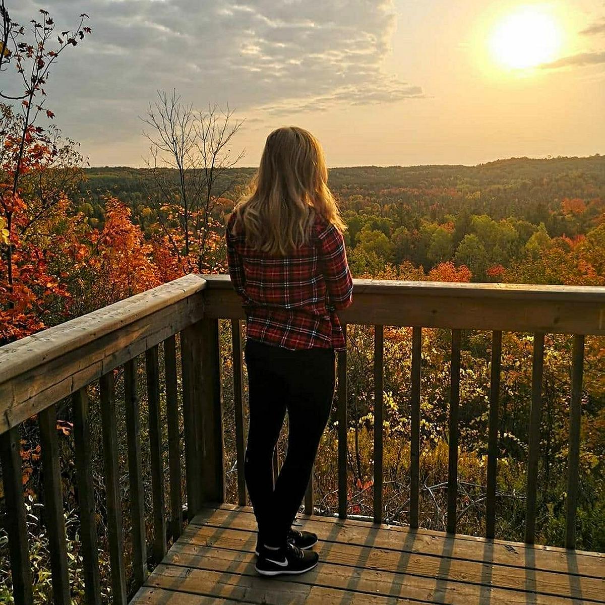
A winding uphill road will take you to Skyline Park where you can leave your car to walk out to the viewing area. Only 325 metres away from the parking area, this lookout is a well-known spot for families with young kids and seniors with mobility limitations.
It does get a bit busy this time of year because of the unbeatable views, but it’s a great place to spend the day picnicking, with tables and outhouses available on site. This is also a beloved spot to watch the sunset — making for a double whammy of gorgeous colours!
While the leaves have already started changing in Haliburton County, peak maple colour viewing will happen from October 1 to 12, with the peak golden encore fall colour opportunity happening from October 13 to 21. For more fall colour predictions in the county, visit myhaliburtonhighlands.com/fall-colours/.
Fall for Fall at Burleigh Falls
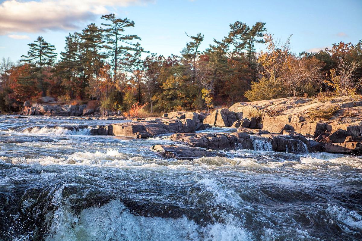
A not-so-hidden gem — a crown jewel of the region, really — is Burleigh Falls, where you can take in the fall colours, a gorgeous sunset, and a breathtaking waterfall all at the same time.
Located right on Highway 28, Burleigh Falls is made by the natural waters flowing from Lovesick Lake and Lower Buckhorn Lake to the west and plunging into Stoney Lake to the east.
You can watch the cascades while on the highway or from the site of Lock 28 along the historic Trent-Severn Waterway. The lock was built in 1887 and is considered to have been one of the most difficult to build because they had to blast through the sheer granite of the Canadian Shield.
At sunset, the view is made even more exceptional as a golden glow is cast along the granite rocks, trees, and rushing water.
There are also a number of natural areas in the region that will show off the fall colours, including trails at the Petroglyphs Provincial Park and Kawartha Land Trust’s Stony Lake Trails. Both are within a 20-minute drive east of the falls, and colours are already beginning to change.
The falls are near the intersection of Highway 28 and Old Burleigh Road.
Take in the views of the Indian River Valley at Warsaw Caves Conservation Area and Campground
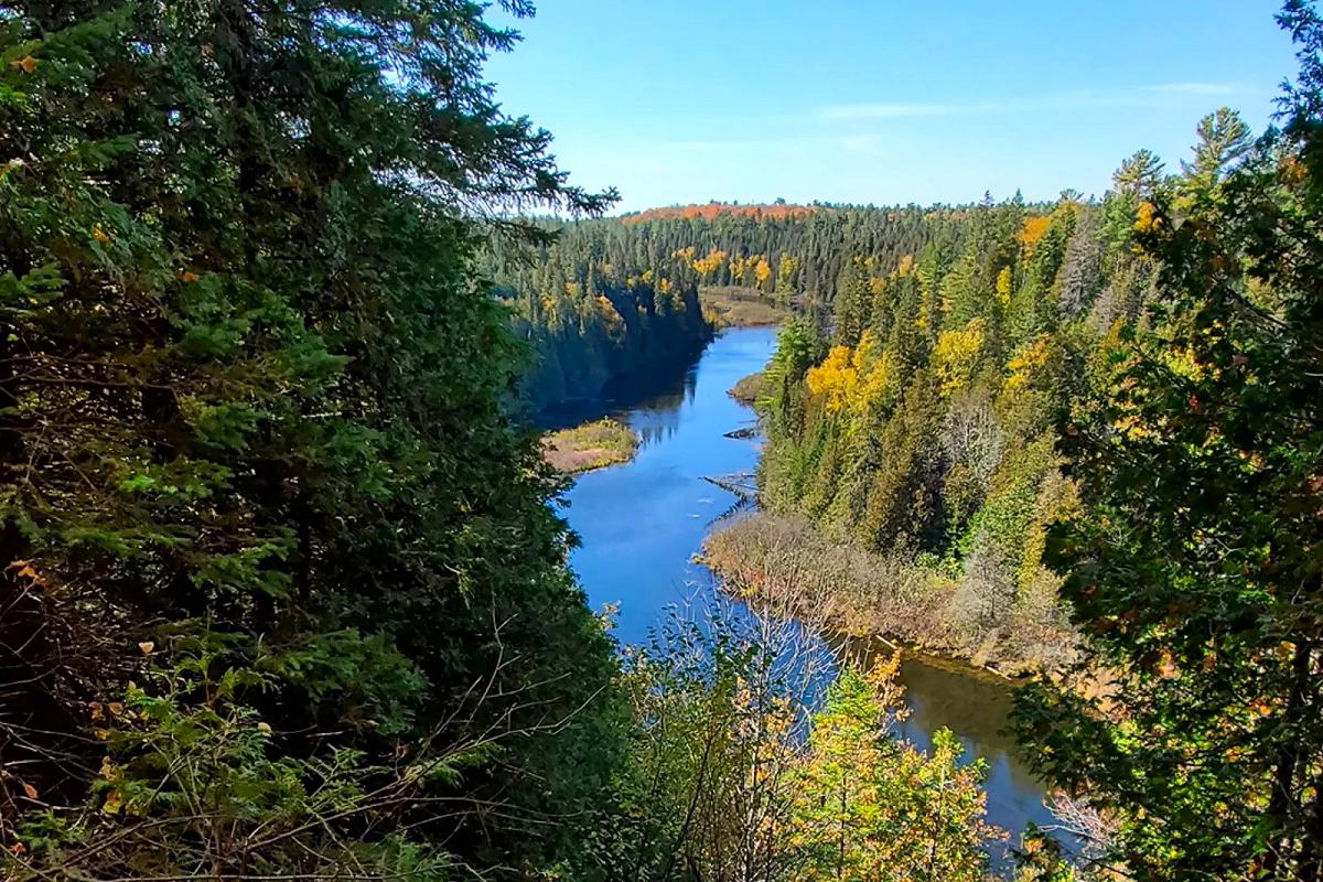
The lookout at the Warsaw Caves Conservation Area and Campground might be a bit more work to get to, but we promise it will be completely worth it when you see the expansive view of the Indian River Valley.
Along this five-kilometre trail in the Township of Douro-Dummer, you’ll see glacial potholes and kettles and hear the disappearing river that falls into underground channels caused by the collapsed limestone layers around the caves.
Near the beginning of the trail is where you’ll find the seven unique caves after which the conservation area is named. These limestone caves were shaped through a series of glaciations including the last Ice Age thousands of years ago. Spelunking is just one of many family-friendly recreational activities that explorers can experience at the Warsaw Caves Conservation Area.
To learn more about each of the caves and spelunking, visit www.otonabeeconservation.com/outdoor-adventure/caving-and-spelunking/.
Get a bird’s-eye view of Bancroft at Eagle’s Nest Park
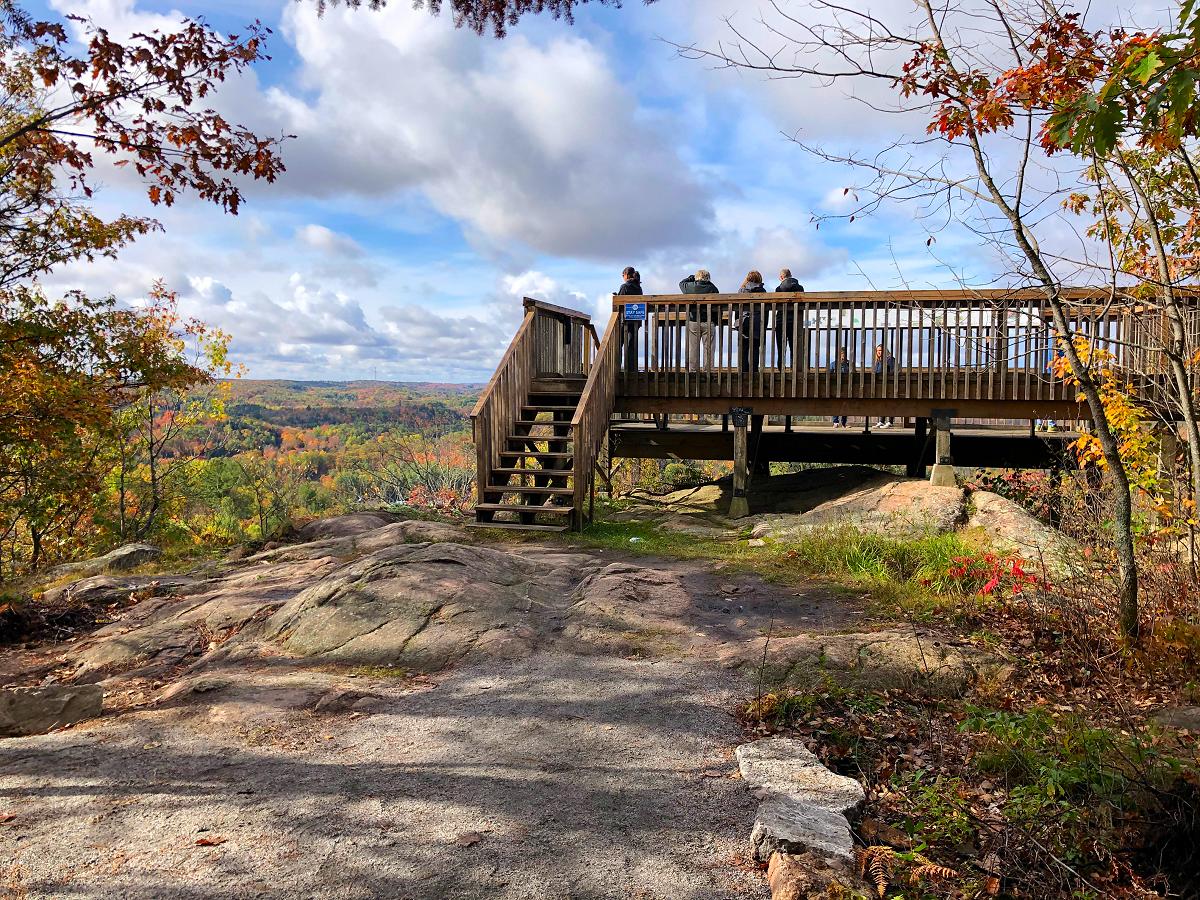
Eagle’s Nest Park is aptly named given the bird’s-eye view of Bancroft it offers to those who walk to the lookout point.
But these cliffs were actually named Eagle’s Nest by Bancroft’s early citizens because a pair of eagles had a nest in one of the pine trees. The park remains owned by the Town of Bancroft and is maintained by the stewards of the not-for-profit organization Bancroft Eagle’s Nest Park Inc.
There are six hiking trails at this park, ranging from easy to difficult, with a diverse range of ecosystems, plants, and wildlife. But if you just want an easy path to a stunning lookout for the fall colours, all you have to do is walk 260 metres down the Hawkwatch Accessible Trail. A wooden platform gives you ample space to view the reds, oranges, and yellows of Hastings Highlands with signage sharing information about the early Indigenous settlement in the area.
Eagle’s Nest Park is open from the May long weekend to Thanksgiving each year. To learn more, visit eaglesnestpark.com.
View provincial significant natural areas at the Windy Ridge Conservation Area in Kawartha Lakes
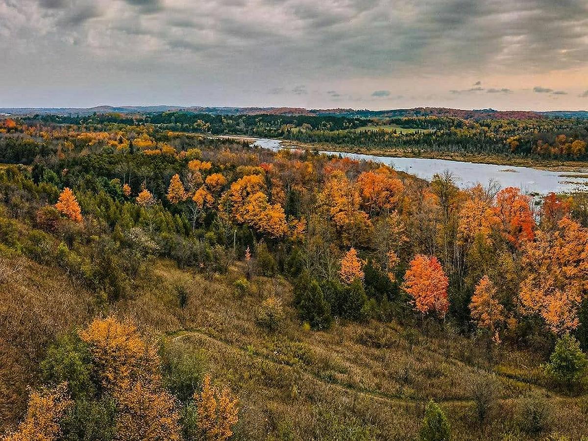
In the City of Kawartha Lakes, you can find expansive and panoramic views from atop one of the area’s tallest ridges.
Windy Ridge Conservation Area is managed by Kawartha Conservation on behalf of the Ontario Heritage Trust. Open year-round, the area offers a natural haven for birding, skiing, snowshoeing, biking, and hiking, with a public picnic area so you can stay for the day.
The conservation area has a single loop trail with two smaller loops, totalling 1.8 kilometres, with a lookout located minutes away from the parking lot. Alongside the breathtaking fall colours, at this lookout you will be presented with kilometres of natural areas of significance, including the Oak Ridges Moraine, the Hogsback Esker, Pigeon River, and Fleetwood Creek.
Windy Ridge Conservation area is located at 998 Mount Horeb Road off Highway 35 near Omemee. To learn more, visit www.kawarthaconservation.com/conservation-areas/windy-ridge/.
Explore the rich biodiversity of Fleetwood Creek Natural Area
Instead of just looking at the Oak Ridges Moraine from Windy Ridge, why not get on the ground and explore it?
At Fleetwood Creek Natural Area in the City of Kawartha Lakes, adventure and unbeatable views await. Owned by the Ontario Heritage Trust and maintained by Kawartha Conservation, Fleetwood Creek Natural Area offers over eight kilometres of trails.
The one you’ll want to add to your list this fall is The Valley Trail, which ends with an observational platform that provides spectacular views of the rich landscape that makes up this environmentally sensitive, geological landform. Just three kilometres long, the trail explores steep ridges and a deep valley carved by massive meltwater flows.
Parking for The Valley Trail can be accessed at 902 Ballyduff Road, accessible from Highway 35. The parking areas are not maintained from October 31 to May 1. To learn more, visit kawarthaconservation.com/conservation-areas/fleetwood-creek/.
Take Instagram-worthy photos of the colours at Rice Lake
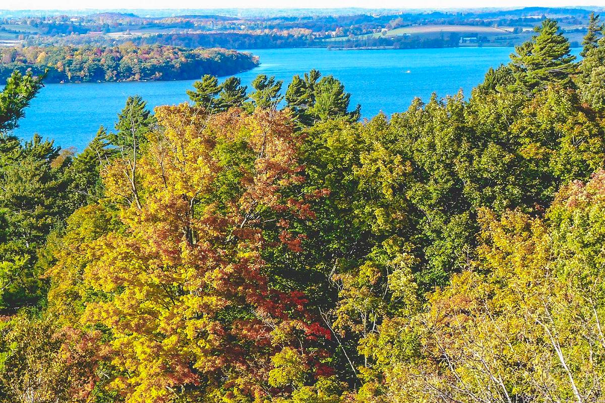
Did you know there’s a road literally named for how scenic Rice Lake is?
That’s right: Rice Lake Scenic Drive speaks for itself any day of the year, but just imagine one of the Kawarthas’ most famed lakes — situated between Northumberland and Peterborough counties — with a backdrop of flaming colours.
When these colours start to peak in mid-October, the reflection on the water will make them even more vibrant — creating the perfect scene for an Instagram-worthy photo.
Rice Lake Scenic Drive is located between Gores Landing and Harwood on the southern shore of Rice Lake.
View the fall colours of Minden at the Panorama Park Lookout in Haliburton County
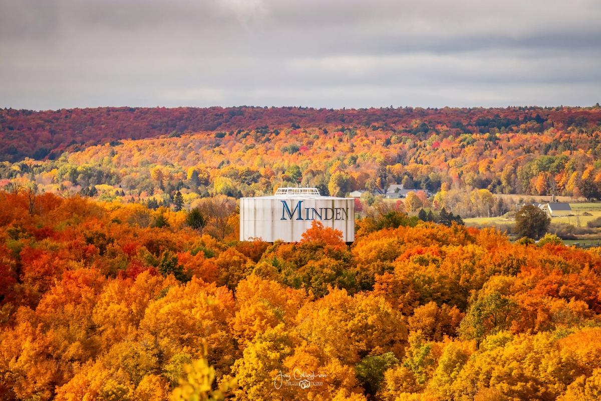
Whether you’re coming north on Highway 35 or south on Highway 21, the drive to Minden is always worth the time — but that’s especially the case when the fall rolls around.
Panorama Park is another spot overlooking a town in Haliburton County, this one being Minden. Drive up the paved and gravel Panorama Park Road off South Lake Road to reach the top of the granite cliff with unbeatable views of the historic town.
The view also gives you a look at Minden’s famous Gull River, and the ridges stretching to the west alongside the village.
To learn more, visit www.mindenhills.ca/explore-discover/parks-and-trails/#PanoramaPark. Note that Panorama Park is not open in the winter.
Learn about the “Mayflower” steamer tragedy at the Kamaniskeg Lake lookout
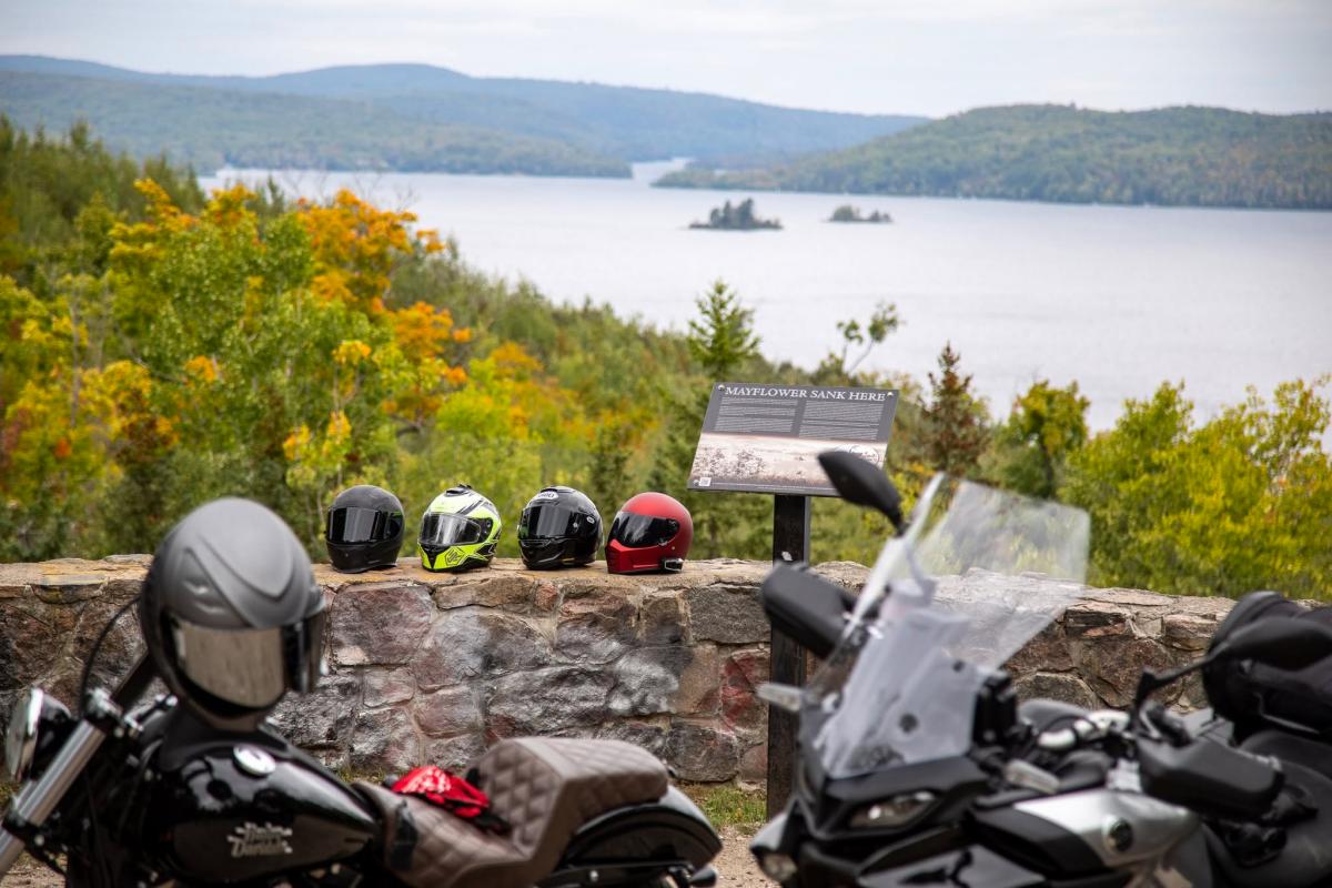
The further north you go, the more the colours have already begun to change. In Combermere in the Township of Madawaska Valley east of Hastings Highlands, you’ll find a kaleidoscope of colours, and there’s a story to go along with it.
At Dafoe Park on Highway 62, there’s a lookout 80 metres above Kamaniskeg Lake. This is the lake where the steamer Mayflower sank on November 12, 1912. Built in Combermere and launched in 1904, the 77-foot-long wooden ship was making its last return trip of the season back to Combermere from Barry’s Bay when a terrible winter storm led to the boat sinking.
The Mayflower had nine passengers and three crew — as well as a body in a casket that was being delivered to a relative in Combermere. In total, nine people drowned during the tragedy — one of the largest losses of lives in an inland waterway in Ontario. Through the lookout you can see the island where a few of the survivors, who made it to safety by clinging onto the floating casket, gathered to await rescue. Scuba divers come back time after time to see the wooded remains that are still located in the lake.
The Kamaniskeg Lake Lookout can be accessed from Lookout Park Road, north of Centreview Road on Highway 62.
Take a scenic road trip through Kawartha Lakes
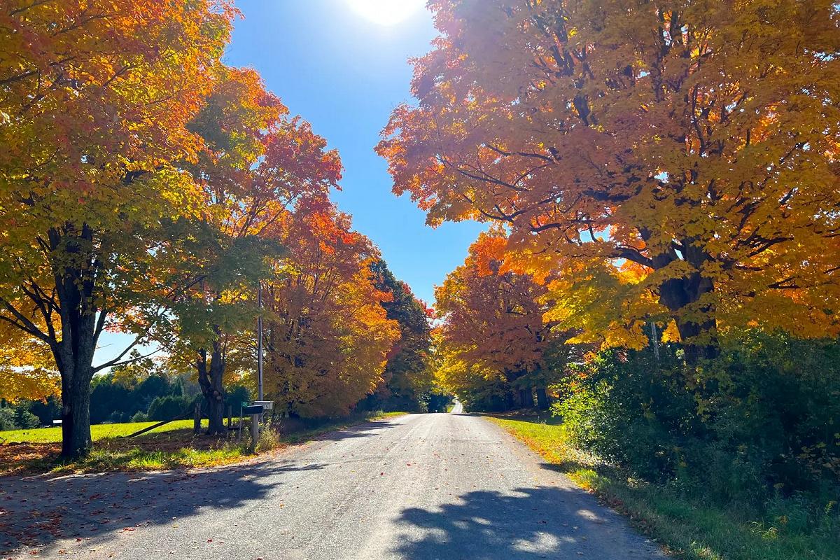
You don’t need to get out of your car for the breathtaking views when you’re driving through the City of Kawartha Lakes. Whether you’re travelling from Buckhorn to Fenelon Falls or Omemee to Buckhorn, you’ll be surrounded by colourful foliage.
Bobcaygeon is a good place to start your road trip. Known as the “Hub of the Kawarthas” due to its central location and significance on the historic Trent-Severn Waterway, Bobcaygeon is located where Sturgeon Lake empties into Pigeon Lake, and is home to Lock 32, one of the most popular locks on the waterway.
No matter the road you take to leave the village, you won’t be disappointed by the views.
Head south on Highway 36 to drive alongside Sturgeon Lake and cross over Emily Creek to get to Lindsay, or go north on the highway and across Nogies Creek for nearly 30 kilometres to get to Buckhorn. Along the way, stop for some locally made fruit wines at Kawartha Country Wines, or check out the legend behind the Adam and Eve rocks just south of Buckhorn.
You can also take Highway 17 south from Bobcaygeon to drive along Pigeon Lake and through the quaint town of Downeyville to get to Omemee, or take County Road 8 for less than 20 kilometres to get to Fenelon Falls, known as the “Jewel of the Kawarthas.”
Whichever path you choose, there will be a cozy town waiting for you on the other side and picturesque views to enjoy along the way.
For more routes across Kawartha Lakes to view the fall colours, visit www.explorekawarthalakes.com/things-to-do/scenic-drives/.

Kawartha Localist is an editorial series from kawarthaNOW celebrating the places, experiences, businesses, and communities that make our region extraordinary. Written by people who live here, work here, and have spent nearly 30 years exploring the Kawarthas and surrounding region, each edition shares trusted local recommendations, hidden gems, and favourite discoveries from across Peterborough County, the City of Peterborough, Kawartha Lakes, Northumberland County, Haliburton County, and Hastings Highlands.
Whether you’re looking for your next hiking trail, favourite patio, scenic drive, farmers’ market, or weekend adventure, Kawartha Localist is what we love about where we live.
Kawartha Localist is sponsored by Kawartha Financial Services.