






















Kawartha Localist is an editorial series from kawarthaNOW sharing trusted local recommendations, hidden gems, and favourite discoveries from people who know and love this region. It’s what we love about where we live. Kawartha Localist is sponsored by Kawartha Financial Services.
We may have only officially entered the fall season last week, but the foliage is already quickly transforming into stunning gold, red, and orange tones.
While the trees are only starting to change colour in southern areas of the greater Kawarthas region, in the north the leaves are already approaching their peak and are even beginning to drop.
In some provincial parks in the region, the upcoming weekend might be the best time to see the fall colours before they begin to fade. It happens fast, so stay tuned to the fall colour tracker from Ontario Parks to see the progression of the colour change and plan your fall exploration.
Last week, Kawartha Localist offered a list of scenic spots to find unbeatable views of the colours. If you prefer to work a little more for your view, or just want to get some exercise while immersing yourself in the seasonal display, we’ve put together a list of top hikes and trails across the region perfect for taking in the colours in all their glory.
From walks along the Trans Canada Trail to hikes in old-growth forests, here are some not-to-be missed trails perfect for seeing the colours at their peak this fall.
Hike to Lookout Mountain in the Northumberland County Forest
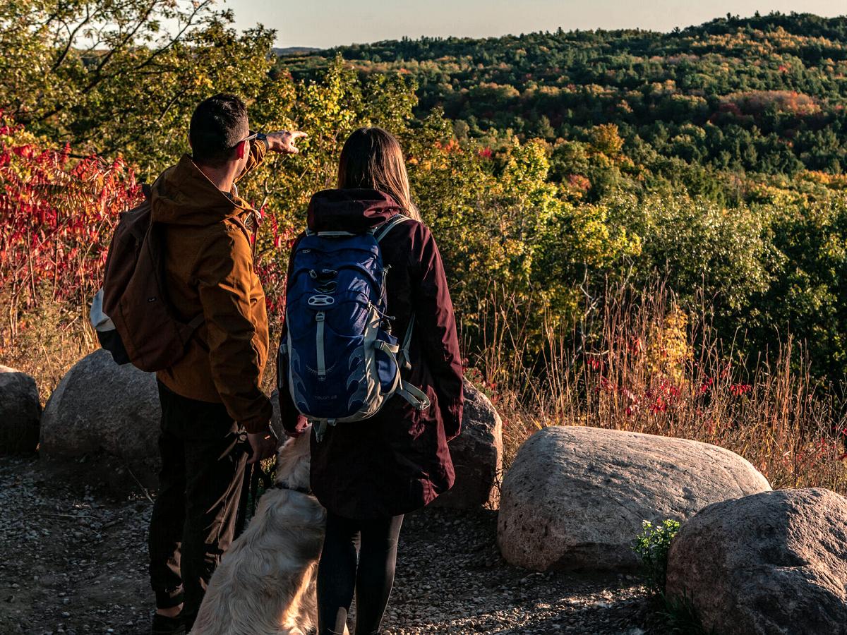
The Northumberland County Forest is home to 45 kilometres of hiking trails that wind through forests, creeks, rolling terrains, and tallgrass prairies.
For stunning views, start at the trailhead for The Woodland Trails, located on the east side of the County Road 45, across from Woodland Road. Take the moderately steep 2.3-kilometre trail to the top of Lookout Mountain and enjoy the sights and sounds of the varied landscapes along the way, including mixed forests and old pine plantations.
If you can’t get enough of the colours, tack on another adventure by taking the nine-kilometre Sweet Fern Loop or 7.5-kilometre Black Oak Loop to walk through the Black Oak Woodland, a rare habitat in Canada that Northumberland County is restoring and managing.
At this trailhead, you’ll also find the Porcupine Trail, which is classified as a “universal trail” with wide and sturdy pathways with gradual sloping grades. Minimizing barriers to access, there are benches along the trail.
To learn more, visit northumberland.ca/things-to-do/northumberland-county-forest/.
Cross through eskers and kames at Balsam Lake Provincial Park near Kirkfield
Between Kirkfield and Coboconk, Balsam Lake Provincial Park is not just about the destination, but the stunning drive through the City of Kawartha Lakes that will get you there.
Located at 2238 County Road 48, the park has ample opportunities to enjoy the fall colours with over eight kilometres of hiking trails featuring waterfront views, ponds, and wetlands.
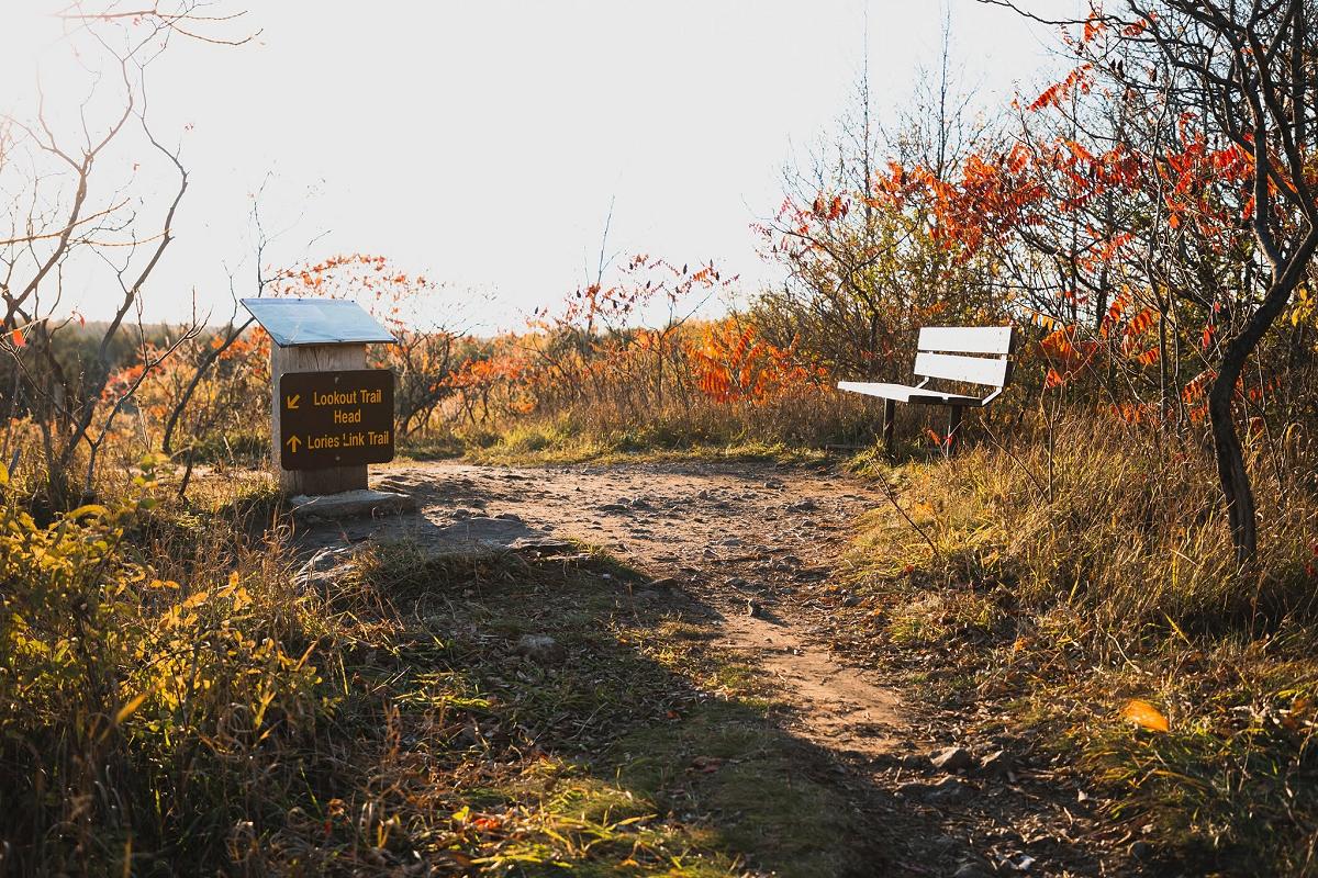
On the 2.1-kilometre Lookout Trail, you will walk through eskers and kames formed over 10,000 years ago by moving glaciers, as well as a variety of forest types including mature hardwood and young mixed forests.
The trail will take you to a lookout atop the tallest kame hill for views of Balsam Lake. Where the trail splits at the look out, continue through the 1.7 kilometre Lorie’s Link trail for more exploration of the changing foliage by enjoying meadows of wildflowers and a red pine plantation.
To learn more, visit ontarioparks.ca/park/balsamlake.
Lookouts, bogs, and forests at Eagle’s Nest Park in Bancroft
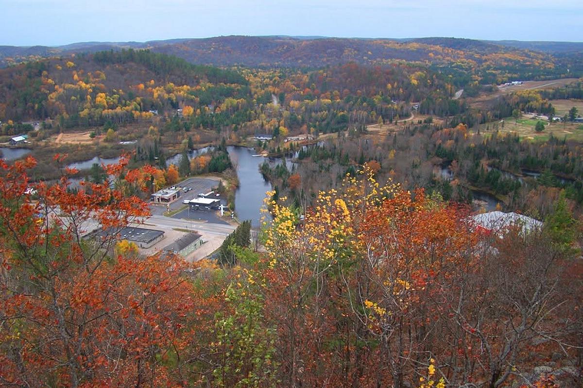
Named for a pair of eagles that originally nested on the site, Eagle’s Nest Park is home to one of the busiest lookout spots in Hastings County. You’ll rarely find it void of explorers throughout the summer, and in the fall it’s particularly beloved.
The lookout provides panoramic views of the York River and the town of Bancroft. It can be viewed from the Hawkwatch Accessible Trail, just 250 metres away from the parking lot.
But did you know there are many other trails at Eagle’s Nest that deliver unmatched views? There are six in total with varying levels of difficulty, exploring forests, a northern peat bog, and several other lookout points.
With so many varying landscapes and terrains, you can spend the whole day exploring the fall colours and then hit the town of Bancroft for some shopping and food while looking at those same majestic cliffs from ground level.
Eagle’s Nest Park is open from the May long weekend to Thanksgiving each year. To learn more, visit eaglesnestpark.com.
View some of Ontario’s last remaining old-growth forests at Peter’s Woods Provincial Park in Northumberland County
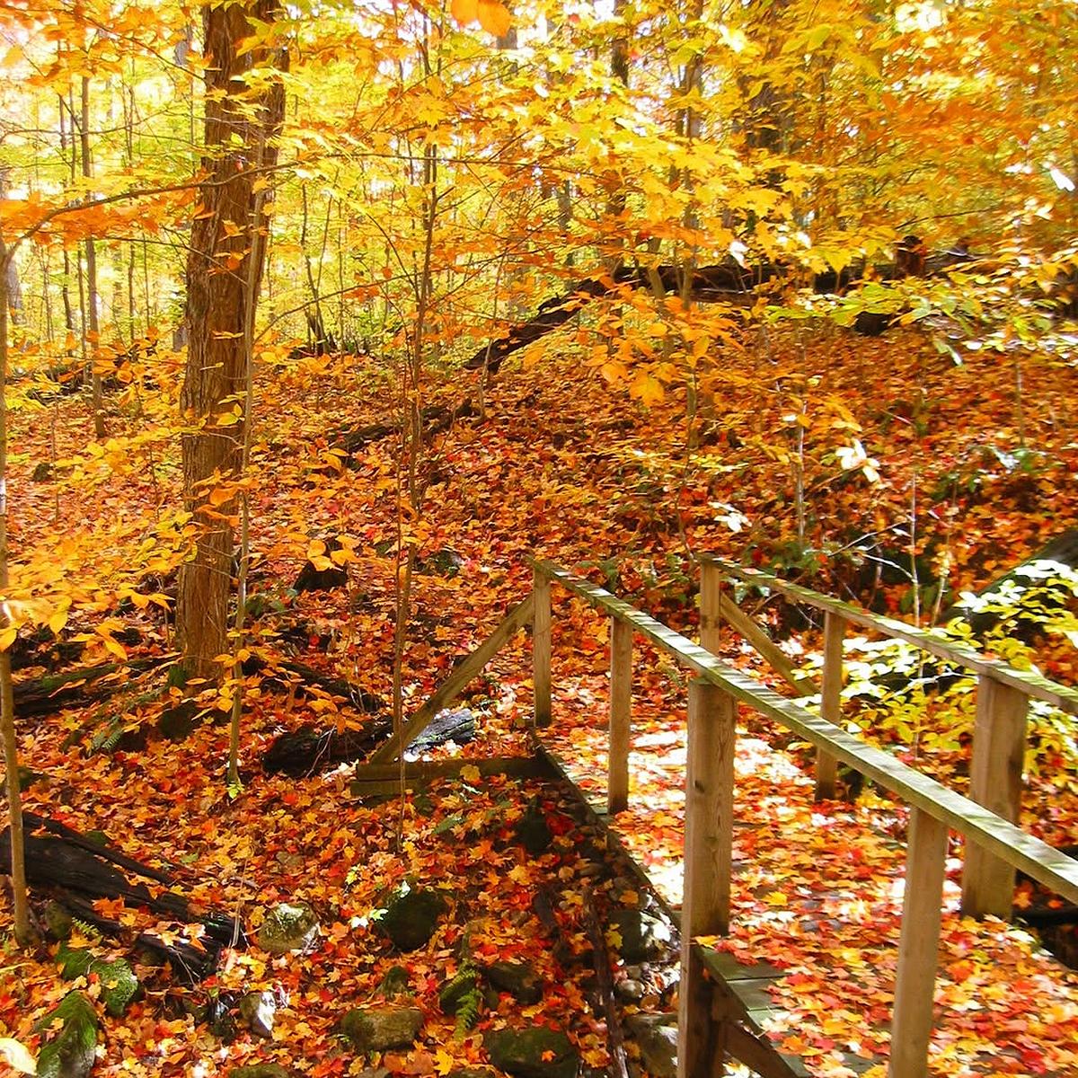
At Peter’s Woods Provincial Park in Northumberland County, you can not only view the stunning fall colours, but you can explore some of Ontario’s oldest areas of forest.
The nature reserve between Roseneath and Grafton is by far the least disturbed forest remnant in Ontario’s Greenbelt, with oak and maple trees at least 400 years old.
That means at this hotspot along the Oak Ridges Moraine, amongst the red oak, white pine, and white cedar, you’ll see a lot of fallen and dead trees, as well as a rich understory of ferns, funghi, and plant life.
This remarkable trail is short at just around a kilometre — but it’s a kilometre full of magic. As the park is a nature reserve, visitors are asked to tread lightly by staying on the trail.
To learn more, visit willowbeachfieldnaturalists.org/peters-woods/.
Cross Doube’s Trestle Bridge between Peterborough and Omemee for stunning panoramic views of Buttermilk Valley
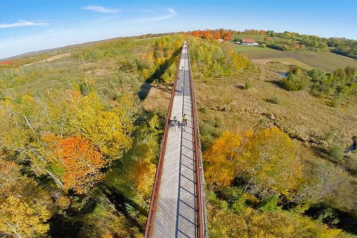
Many people make the Doube’s Trestle Bridge (also known as Orange Corners Trestle Bridge), located between Peterborough and Omemee, a regular part of their exercise, whether they travel by hiking, cycling, or running. But this historic bridge is even more exceptional in the fall when the changing foliage creates a vibrant and colourful lookout.
Overlooking the Buttermilk Valley, this 175-metre bridge was constructed in 1883 for the Midland Railway’s route between Peterborough and Lindsay. Today, it remains a piece of the 53.8-kilometre Kawartha Trans Canada Trail, which is a portion of the Trans Canada Trail (The Great Trail).
There are a number of places to access the trail, but, for easy access to the bridge, start at 303 Orange Corners Road. From there, you’ll have a 1.2-kimotre one-way hike to the trestle bridge.
With the popularity of the trail and the bridge during fall, the Kawartha Trans Canada Trail Association is reminding visitors that the area is surrounded by private properties whose privacy should be respected, and to not trespass by walking off the main trial.
Also note that a portion of the bridge’s wooden decking was again recently damaged by fire, with the cause this time suspected to be a discarded smouldering cigarette butt. Unlike after the 2024 fire, the bridge remains open with a temporary plywood repair, but be careful when crossing as the lip of the repair could be a tripping hazard.
To learn more about the trail, the bridge and its history, or to donate to help repair the bridge, visit ktct.ca.
Walk the Trans Canada Trail via the Jackson Creek Trail in Peterborough
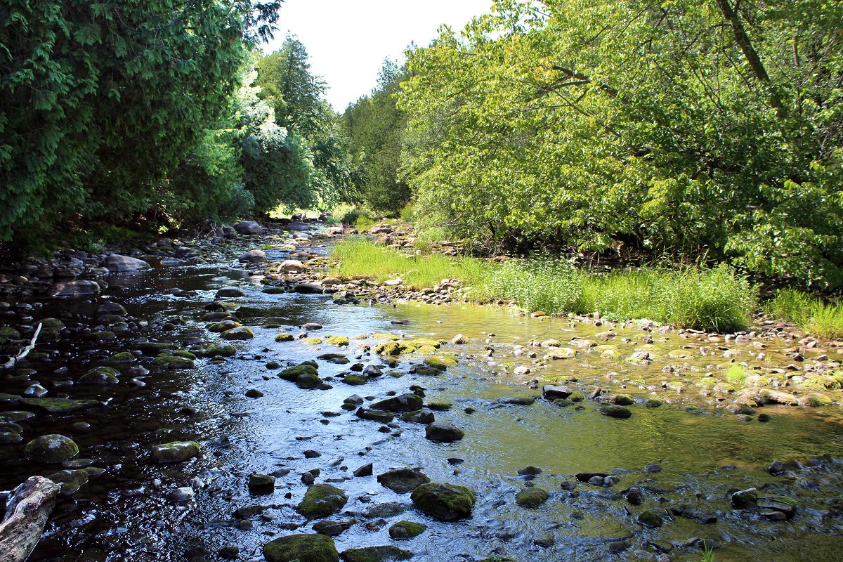
Another way to experience a portion of the Trans Canada Trail in its fall glory is to take a walk along the Jackson Creek Trail, one of the most enjoyed trails by Peterborough urbanites seeking to immerse themselves in nature.
Begin your journey heading west from Jackson Park, whose location on the creek invites a diverse ecosystem of plant and animal life. Along this 4.5-kilometre multi-use scenic trail, which links to the Kawartha Trans Canada Trail in the west and the Peterborough Trans Canada Trail in the southeast, you’ll pass through upland forest, forested lowlands, valleys, and wetlands that are abundant with life-and, of course, stunning foliage.
To learn more, visit otonabeeconservation.com/conservation-areas/jackson-creek-trail/.
Catch the sunset on the Mississauga River Loop at Kawartha Highlands Provincial Park in North Kawartha
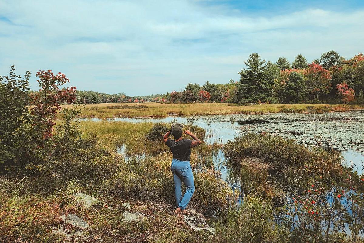
Kawartha Highlands Provincial Park is the largest provincial park in southern Ontario outside of Algonquin Park. Located primarily in North Kawartha Township, it’s also a lot more accessible and likely not as crowded as Algonquin’s Highway 60 corridor.
One of the most popular trails in this park is the Mississauga River Loop. This 1.5-kilometre trail follows the Mississauga River as it flows between Mississauga Lake and Lower Buckhorn Lake. Hiking through forest and rocky ridges will lead you to a vantage point that offers prime views during sunset.
For the more adventurous, the park also offers opportunities to experience the outdoors through backcountry canoeing and camping.
Kawartha Highlands Provincial Park is open all year long. To learn more, visit ontarioparks.ca/park/kawarthahighlands.
Explore ecologically significant geology on the Stony Lake Trails in North Kawartha
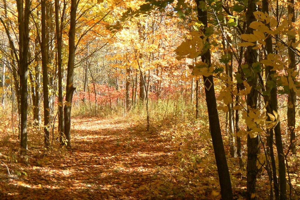
Located in North Kawartha Township, the Stony Lake Trail network offers 10 kilometres of hiking trails boasting views of Stony Lake, one of Peterborough County’s most popular lakes.
Suitable for moderate and intermediate hiking, these trails span properties managed by the Kawartha Land Trust, including the Ingleton-Wells Property, Jeffrey-Cowan Forest Preserve, and property owned by Viamede Resort.
These properties sit on ecologically significant limestone cliffs and rock outcropping of the Canadian Shield, offering hilltop lookouts and one of the largest undeveloped stretches of shoreline on Stony Lake.
The 3.5-kilometre Red Trail through the Jeffrey-Cowan Forest Preserve is one of the most enjoyed throughout the fall, offering many different routes and views of the lake.
To learn more, visit kawarthalandtrust.org/protected-properties/stony-lake-trails/.
View golden tamarack in the McGeachie Conservation Area in Hastings County
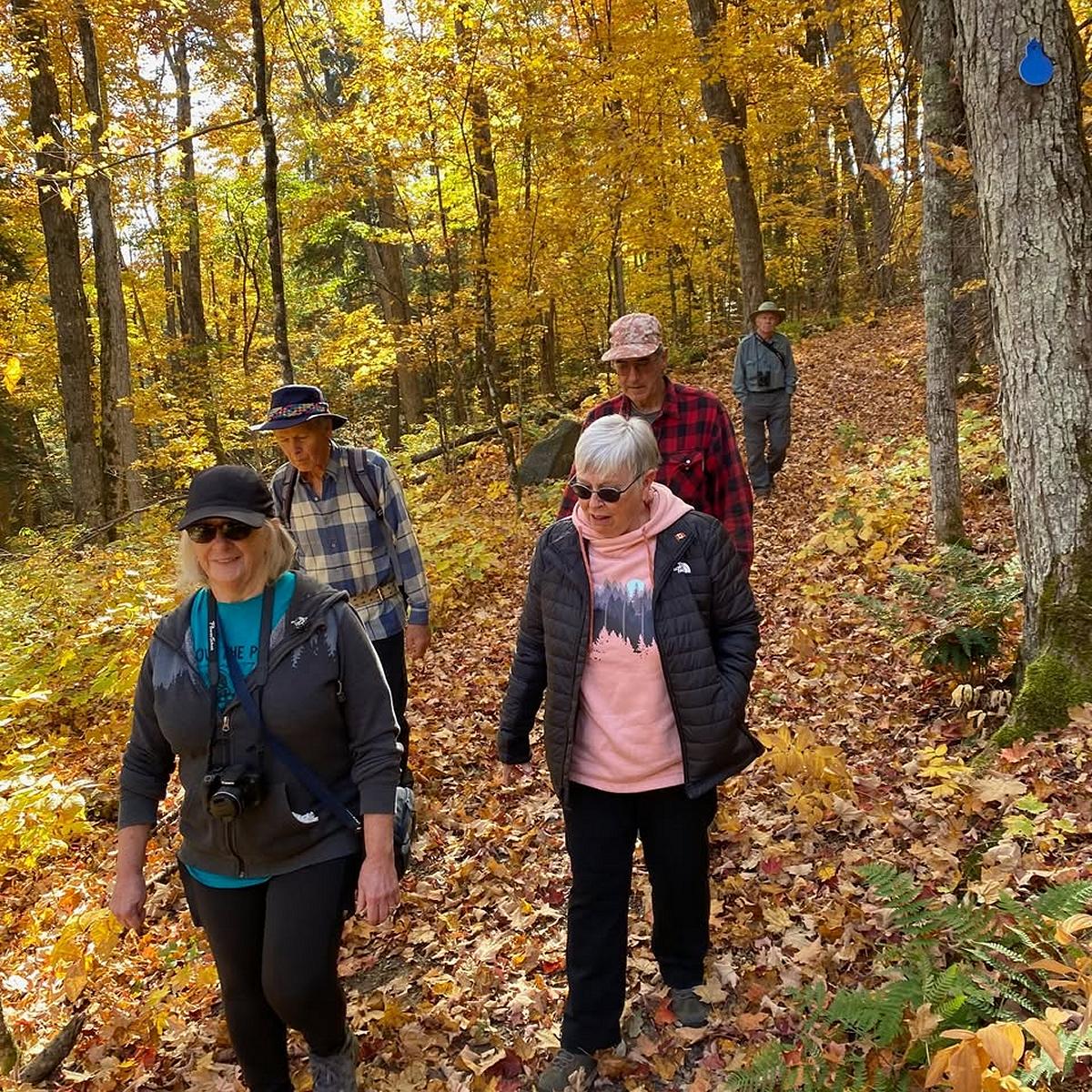
On Steenburg Lake just west of Gilmour in Hastings County, McGeachie Conservation Area has over 500 acres of land that were donated to Crowe Valley Conservation in 1994.
Here, you’ll find forests with trees at minimum 100 years old, as well as swamp lands, beaver ponds, and two creeks. In the uplands, you will be surrounded by oak, maple, basswood, birch, beech, and ash trees, while in the lowlands, stands of cedar, hemlock, and balsam will be abundant, as well as golden tamarack brightening the path.
Several maintained trails vary from a few hundred metres to 1.2 kilometres, with many interconnected so you can create your own route amongst the changing colours.
To learn more, visit crowevalley.com/mcgeachie-conservation-area/.
See some of the oldest trees in Ontario at Mark S. Burnham Provincial Park in Otonabee-South Monaghan
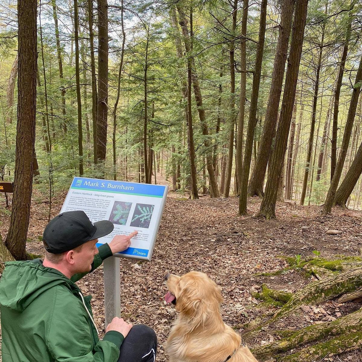
Located in the Township of Otonabee-South Monaghan just outside the City of Peterborough, Mark S. Burnham Provincial Park has some of the oldest trees in Ontario — so you know they’ll be worth paying a visit this fall.
Harbouring grandeur maple, beech, elm, and hemlock trees (some between 200 and 460 years old), this park is located in the middle of the Peterborough Drumlin Fields, which contains more than 3,000 drumlins, which are large hills shaped by retreating glaciers).
Given the elevation change, the 1.5-easy trail through the park contains multiple ecosystems home to a range of wildlife and plant life.
To learn more, visit ontarioparks.ca/park/marksburnham.
View four interconnected lakes at the James Cooper Lookout Trail in Haliburton Highlands
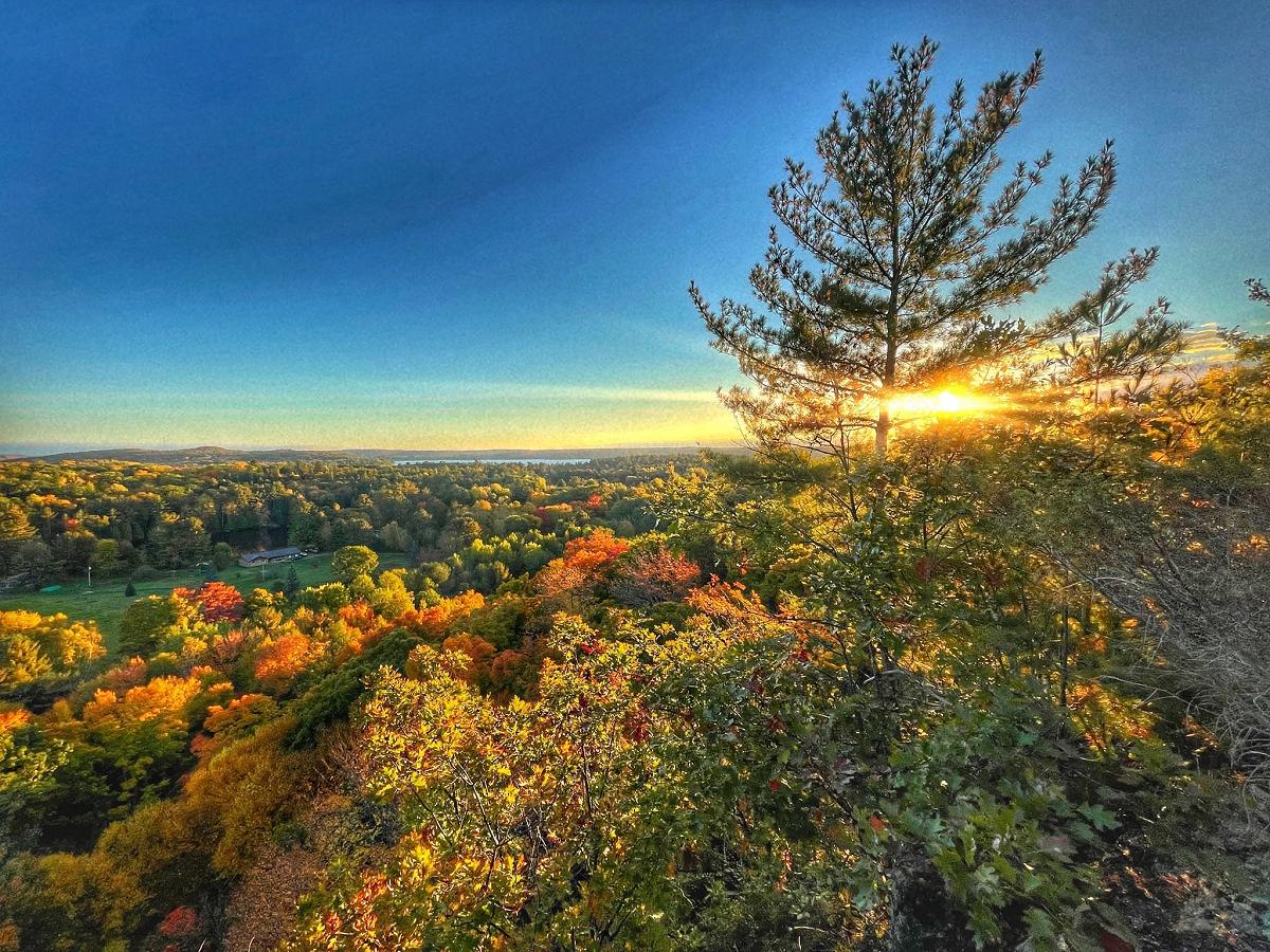
Don’t be discouraged by the steep incline — the 1.5-kilometre James Cooper Lookout Trail in Haliburton County is worth the leg work-out for the rocky bluff destination offering generous south-facing views of four interconnected lakes: Maple, Beech, Boshkung, and Twelve Mile.
Up for more adventure? The loop connects to the eight-kilometre Algonquin Highlands Ridge Trail, which in itself connects to a whole network of trails across the Highlands.
To learn more about James Cooper Lookout and other trails in the Township of Algonquin Highlands network, visit algonquinhighlands.ca/explore-play/trails/hiking-trails/.
Listen to the trees talk at Ken Reid Conservation Area near Lindsay
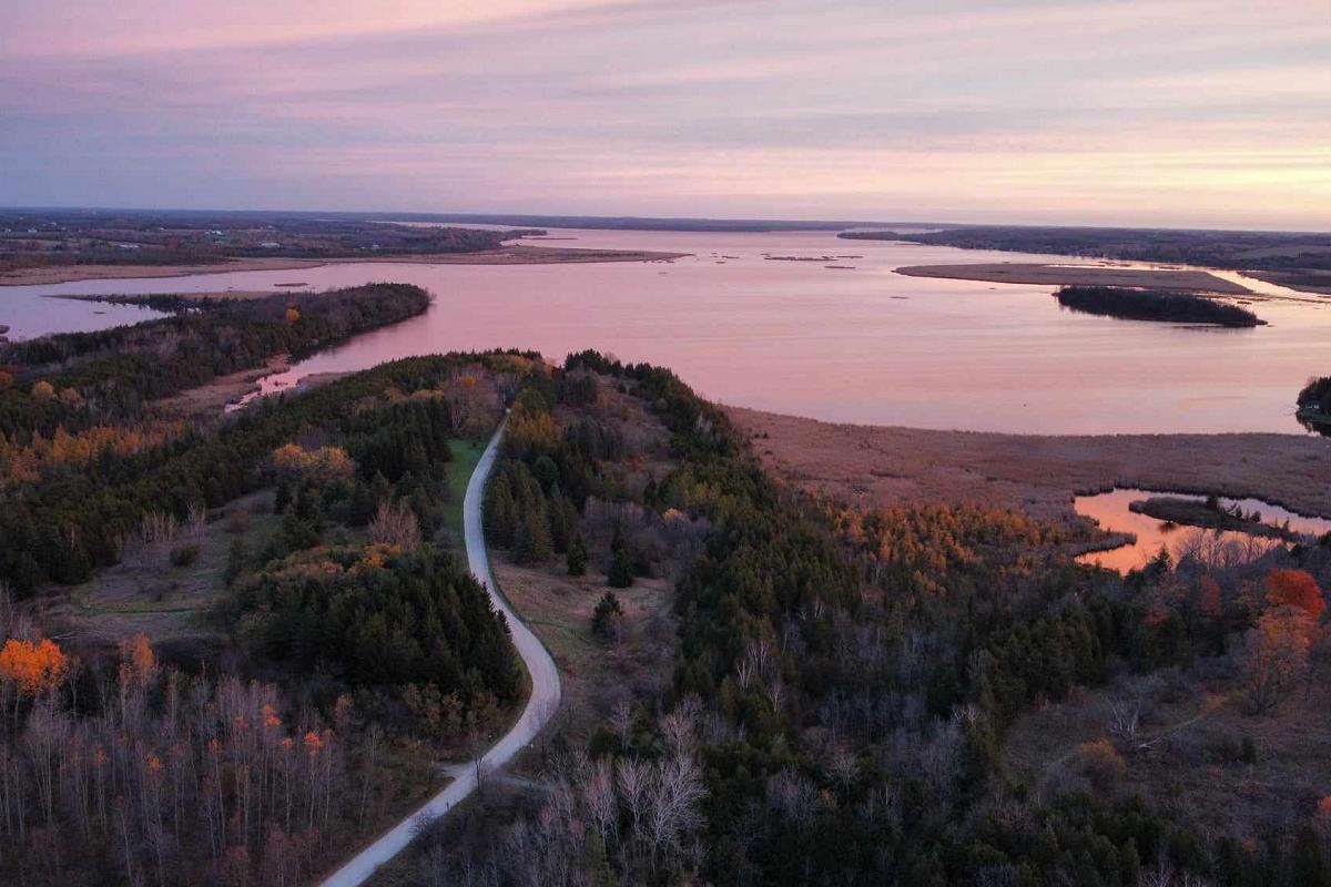
Just north of Lindsay in the City of Kawartha Lakes, Ken Reid Conservation Area is a nature-lover’s haven with diverse ecosystems from dense forests to sprawling meadows and significant wetlands.
At 272 acres, this year-round conservation area offers 12 interconnected trails that total close to 12 kilometres. A must-see in the fall is the 2.4-kilometre Woodland Loop (Green Trail) where you’ll begin by walking along the floating boardwalk before getting unbeatable views of the McLaren Marsh.
Did you know on this trail you can listen to the trees speak? That’s right, you can use the Talking Forest App available on iPhone and Android, click on the trail, and you’ll hear about the trees, wildlife, and history of the landscape while you appreciate the changing colours of the canopy.
To learn more, visit www.kawarthaconservation.com/conservation-areas/ken-reid-conservation-area/.
Take a leisurely hike at Robert Johnston EcoForest Trails in Douro-Dummer
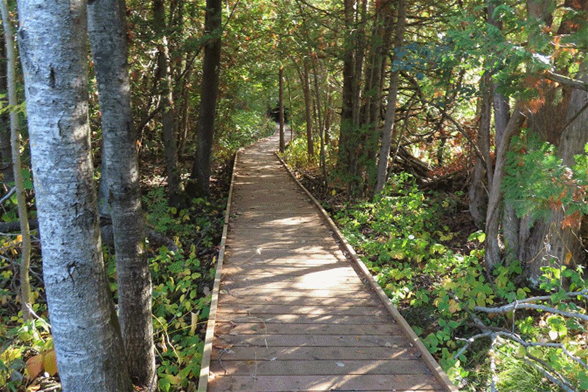
In the Township of Douro-Dummer, the Robert Johnston EcoForest Trails is an unassuming network of four trails totalling about six kilometres of forest immersion.
The trails are named after Robert Charles Johnston, a long-time Douro-Dummer resident who donated the property to the township in 1997 to be used as recreational land.
Meandering through ponds, wetlands, large beech trees, hardwood forests, a drumlin, and lots of dog strangling vine, these trails offer the setting for easy and leisurely hikes without the crowds of people.
This fall, you won’t want to miss out on taking the Wildlife Trail where you’ll get expansive and open views of the rolling lands.
The Robert Johnston EcoForest Trails are located at 185 Douro 5th Line in Douro-Dummer Township. The trails are free to use, with ample parking available at the entrance to the trails.
Explore 500 acres of mixed forest and the Burnt River at Dahl Forest in Haliburton County
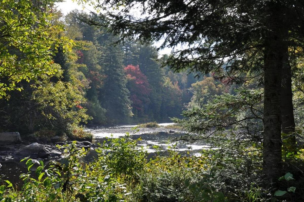
At approximately 500 acres, Dahl Forest is an expansive property of mixed forest managed by the Haliburton Land Trust in Minden Hills, located five kilometres south of Gelert.
Within these forests, you’ll find white birch, sugar maple, basswood trees among red and white pine forest. The property contains seven hiking trails totalling five kilometres of forest, wetlands, and open areas bisected by the Burnt River.
A favourite hike for the fall is the Old Bend Loop, a trail just over a kilometre through the forest and alongside the river and wetlands.
To learn more, visit www.haliburtonlandtrust.ca/our-properties/dahl-forest/.
Look out for wildlife at Trent University’s Wildlife Sanctuary Nature Area in Peterborough
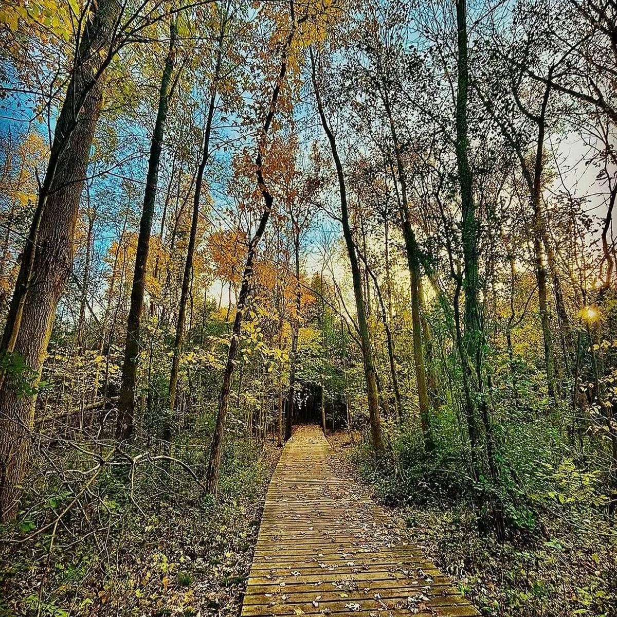
More and more people are discovering the beauty that can be found at Trent University’s Wildlife Sanctuary Nature Reserve in Peterborough.
The university’s largest and oldest natural area, the Wildlife Sanctuary Nature Reserve was established as a “living laboratory” for environmental research and conservation and continues to serve as a living classroom with a robust trail network across various ecosystems.
These include three wetlands, regenerating agricultural fields, areas of cedar, and young deciduous forests that provide habitat to a range of wildlife.
The longest of the three trails, the 3.2-kilometre Blue Trail, is unmatched in the fall and is also enjoyed year-round for birding, snowshoeing, and as an escape right in the city.
To learn more, visit www.trentu.ca/natureareas/maps-physical-environment/wildlife-sanctuary-nature-area.

Kawartha Localist is an editorial series from kawarthaNOW celebrating the places, experiences, businesses, and communities that make our region extraordinary. Written by people who live here, work here, and have spent nearly 30 years exploring the Kawarthas and surrounding region, each edition shares trusted local recommendations, hidden gems, and favourite discoveries from across Peterborough County, the City of Peterborough, Kawartha Lakes, Northumberland County, Haliburton County, and Hastings Highlands.
Whether you’re looking for your next hiking trail, favourite patio, scenic drive, farmers’ market, or weekend adventure, Kawartha Localist is what we love about where we live.
Kawartha Localist is sponsored by Kawartha Financial Services.