Both Kawartha Conservation and the Lake Simcoe Region Conservation Authority have issued a flood outlook water conditions statement on Wednesday (March 13).
A flood outlook is an early notice of the potential for flooding based on weather forecasts calling for heavy rain, snow melt, high wind, or conditions that could lead to high runoff, cause ice jams, lake shore flooding, or erosion.
Rain is expected to begin Wednesday and continue through Friday, March 15th, with 10 mm of rain across most of the Kawarthas.
For Haliburton, Environment Canada has issued a special weather statement, forecasting 15 to 25 mm of rain by late Thursday evening, with a few isolated thunderstorms possible on Thursday afternoon.
The incoming weather system will also result in temperatures well above seasonal values on Thursday and Friday, with a daytime high of 10°C forecast for Thursday.
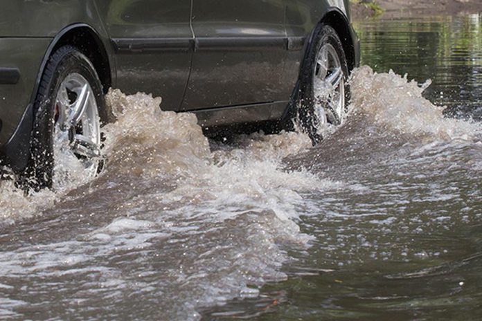
Due to the duration of this late winter thaw, a significant reduction of the snow pack will occur. The expected rainfall coupled with the amount of ice and snow in storm drainage systems will increase the potential for blockage and ice jams, especially in the vicinity of culverts and bridges. This may result in localized flooding in some areas.
Under expected watershed conditions, all local rivers, streams, and lakes should be considered extremely dangerous. Riverbanks will be slippery and unsafe; any remaining ice cover is unstable and hazardous. Kawartha Conservation is warning all residents to stay away from water bodies, as well as water structures such as bridges, culverts, and dams. Children should be warned of dangerous conditions and caregivers should maintain a close watch on children who are outside.
Municipalities are advised to monitor areas known for minor flooding and be prepared to respond to high water situations as they occur. Residents are advised to contact their municipalities should a flood threat develop. Local municipalities are first to respond to and assist with flood emergencies.
Burnt and Gull River levels are monitored by staff from the Ministry of Natural Resources and Forestry (MNRF). Residents along these two rivers are requested to direct any questions concerning water levels to the MNRF Minden office at 705-286-5207.
The Lake Simcoe Region Conservation Authority and the Kawartha Conservation watersheds cover large portions of the City of Kawartha Lakes, with the Kawartha Conservation watershed also including a portion of Peterborough County.
Otonabee Conservation, which includes Peterborough and Peterborough County, has issued a water safety water conditions statement for March 13th. Higher than normal water flows are expected in in area rivers and streams, and possible slippery and unstable banks. No overland flooding is expected, although there may be localized urban flooding.
Ganaraska Conservation, whose watershed encompasses the south shore of Rice Lake to Lake Ontario, including Cobourg and Port Hope, has not yet issued a watershed conditions statement.


